What is recorded here
From the National Monuments Service (Archaeological Survey of Ireland) record GA125-104
Places near here
Photo credits
- Maker not stated on source page, www.pinterest.com
- Maker not stated on source page, www.agriland.ie
- Maker not stated on source page, tr.pinterest.com
- Maker not stated on source page, commons.wikimedia.org
- Maker not stated on source page, au.pinterest.com
- Maker not stated on source page, www.alamy.com
- National Inventory of Architectural Heritage
- Maker not stated on source page, www.gpsmycity.com
- Maker not stated on source page, www.irishmirror.ie
- Maker not stated on source page, ru.m.wikipedia.org
 Fairy fort / earthen ringfort in Liss (leitrim By.)Fairy fort / earthen ringfort · 541 yd
Explorer Tom Fairy fort / earthen ringfort in Liss is covered in bramble, which is basically nature saying 'don't touch'. It's a bit…
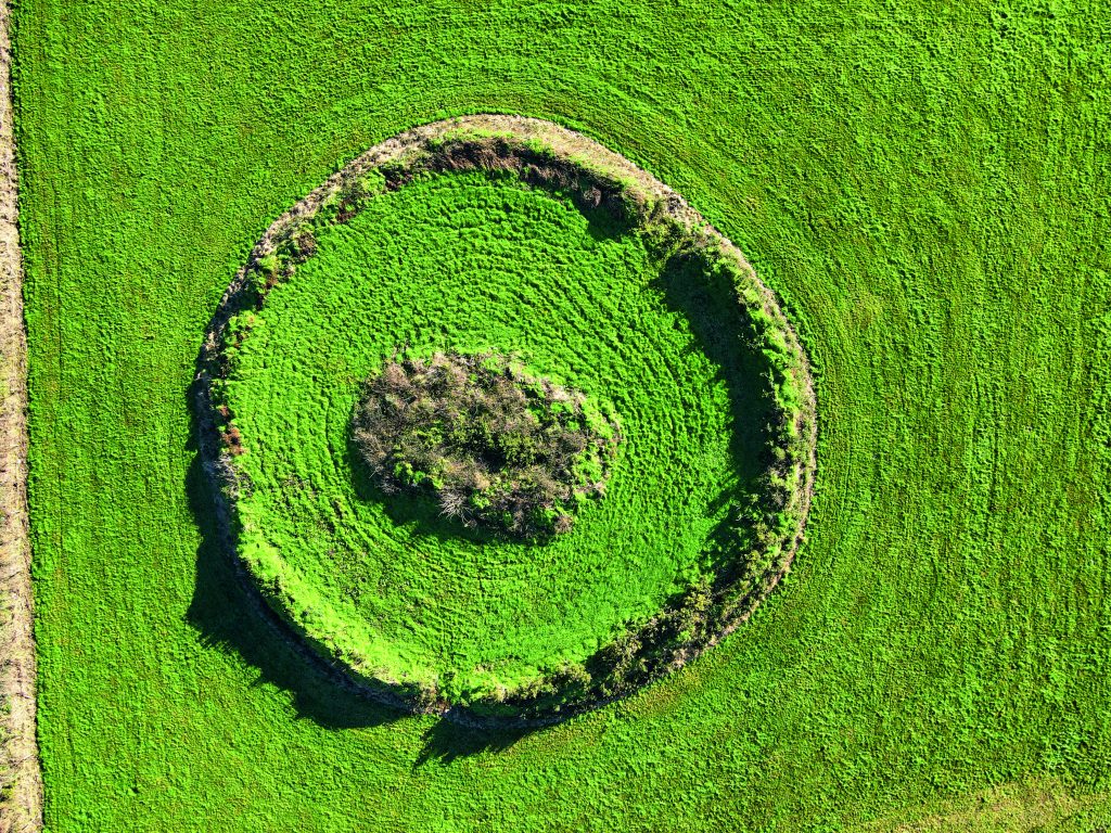 Fairy fort / earthen ringfort in Lissaniska (leitrim By.)Fairy fort / earthen ringfort · 819 yd
Explorer Tom Another Lissaniska fort is basically invisible unless you look at an old map and squint really hard. It’s secretly…
 Megalithic structure in Knockroe (leitrim By.)Megalithic structure · 1287 yd
Explorer Tom Megalithic structure in Knockroe is a big stone thing that a bishop refused to visit because he didn’t like the vibe.…
 Bullaun stone in Curragh (leitrim By.)Bullaun stone · 1295 yd
Explorer Tom Bullaun stone in Curragh is a boulder with one basin that looks like it’s been holding rainwater for centuries. It’s…
 Standing stone in Clooneen (leitrim By.)Standing stone · 1442 yd
Explorer Tom Standing stone in Clooneen is a total enigma with no description available. It’s just standing there, probably…
 Wedge tomb in Cregg (leitrim By.)Wedge tomb · 1673 yd
Explorer Tom Wedge tomb in Cregg had a fox take charge of the whole place once, and honestly he ran it better than we do. It’s…
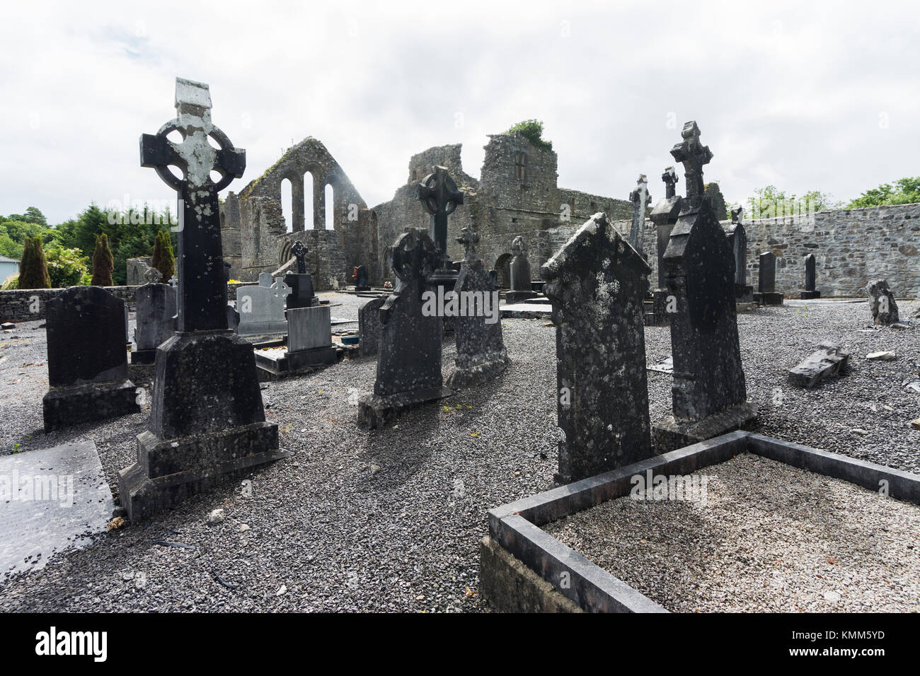 Mapped graveyardGraveyard · 1688 yd
Explorer Tom Listen, this Mapped graveyard claims its family tree is mostly made up, with relatives who never existed popping up…
 Castle (in ruins)Castle, unclassified · 1.1 mi
Explorer Tom Castle in Clooneen has no official description, so I’m saying its name actually means 'The Place Where The Goat Ate The…
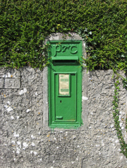 post box1.1 mi
Explorer Tom Post box in Clooneen is judging your handwriting from across the lane. Built for Irish Independence, it's still…
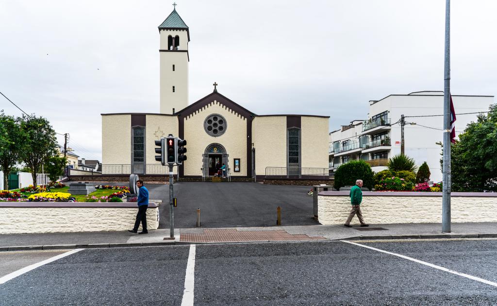 Catholic ChurchChurch · 1.1 mi
Explorer Tom Catholic Church in Knockadrum would tell its younger self to stop worrying about being recorded by the archive unit.…
 Duniry Pitch, Tynagh-Abbey Duniry Hurling ClubGAA ground · 2.4 mi
 CastleCastle, motte and bailey · 2.4 mi
Explorer Tom Castle in Cloonacastle is a motte and bailey where the mound is destroyed at the south end. It’s basically a hill with…
More historic places in County Galway · All of County Galway

What do you know about this place?Tap to add a comment or ask a question