
What is recorded here
Indicated is a fairy fort or earthen ringfort in Lisroyne, County Roscommon, Ireland. It occupies a gentle northwest-facing slope where a circular grass-covered area measures thirty-six metres north-south and thirty-four metres east-west. An earthen bank defines the perimeter, though erosion has weakened its eastern section while its southern and western parts joined a field bank and hedge. No visible fosse or original entrance remains, although Gannon recorded an entrance at the northeast in 1972.
On a gentle NW-facing slope. Circular grass-covered area (diam. 36m N-S; 34m E-W) defined by an earthen bank (Wth 5-7m; int. H 0.3-0.6m; ext. H 0.2-0.8m) which is most eroded at E but incorporated into a field bank and hedge (Wth 5.3m; int. H 0.6m; ext. H 1.9m) SSW-NW. There is no visible fosse or identifiable original entrance, although an entrance has been recorded at NE (Gannon 1972).
Compiled by: Michael Moore
Date of upload: 24 August 2010
The monument record does not grant public access. Check the route and ask the landowner before entering private land.
- What survives
- Recorded monument
Places near here
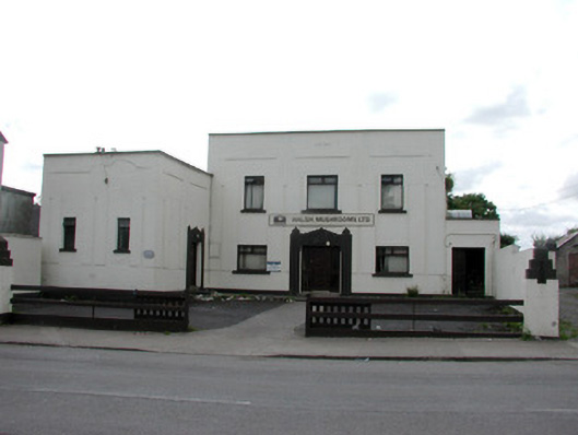 ballroom/dance hall/discoballroom/dance hall/disco · 401 yd
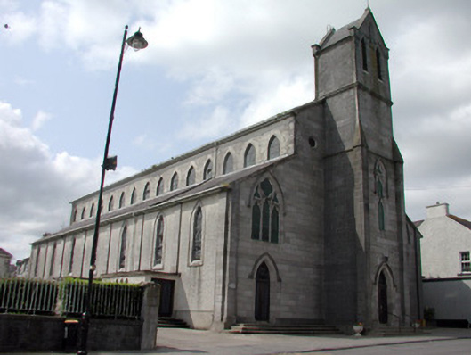 Catholic Church of the Immaculate Conceptionchurch/chapel · 492 yd
 Sweet ChestnutSweet Chestnut · 599 yd
 Ecclesiastical enclosure in KildallogeEcclesiastical enclosure · 702 yd
 Pedunculate OakPedunculate Oak · 704 yd
 Strokestown House GardensHeritage attraction · 1151 yd
 Strokestown ParkHeritage attraction · 1444 yd
 CastleCastle, unclassified · 1.7 mi
 Slieve BawnMountain / peak · 4.6 mi
 Leitrim CastleCastle, unclassified · 5.0 mi
 Goat IslandIslet · 5.8 mi
Other information
Photo: Credit not shown in the picture search · Rights wording not checked; contact us if this picture should be removed