What is recorded here
On a low promontory attached to the E shore of Lough Lea, which was a rectangular lake (dims c. 400m E-W; c. 300m N-S) with a large peninsula attached to the S shore in 1837 but is now a collection of small pools, the largest of which (diam. c. 180m) is at the NE angle of the original lake and just N of this location. Subcircular grass-covered mound (dims of base 10.5m E-W; 11.4m N-S; dims of top 7.6m E-W; 6.5m E-W; H 0.2-0.9m) with no visible evidence of timber construction, but old trenches had been dug through it. Flints, quernstones and swords were discovered at Lough Lea in the 19th century (Wood-Martin 1886, 233), possibly at this location. Crannog (RO023-164002-) is c. 20m to the SSW, crannog (RO023-189----) is c. 200m to the S and crannog (RO023-208----) is c. 170m to the SE.
Compiled by: Michael Moore
Date of upload: 24 August 2010
The monument record does not grant public access. Check the route and ask the landowner before entering private land.
- What survives
- Recorded monument
Places near here
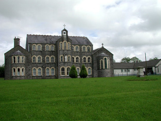 Convent of Mercyconvent/nunnery · 596 yd
 Saint John's Church (Bumlin)church/chapel · 768 yd
 IndicatedFairy fort / earthen ringfort · 780 yd
 Sweet ChestnutSweet Chestnut · 1285 yd
 Pedunculate OakPedunculate Oak · 1458 yd
 Strokestown House GardensHeritage attraction · 1757 yd
 Strokestown ParkHeritage attraction · 1.2 mi
 CastleCastle, unclassified · 2.0 mi
 Slieve BawnMountain / peak · 4.7 mi
 Leitrim CastleCastle, unclassified · 4.8 mi
 War of Independence Commemorative Military MemorialMemorial · 5.7 mi