What is recorded here
In pasture in undulating limestone terrain, at a break of slope with a fall of ground to SW.
A circular embanked enclosure (diam. c. 30m) is shown on the 1838 OS 6-inch map; it is not shown on later map editions. It has been levelled and there is no visible trace at ground level.
There is a rath (MA071-131----) 150m to NW.
Compiled by: Jane O’Shaughnessy
Date of upload: 10 September 2021
This remains an important historical record, but the official description says the monument is no longer visible or has been destroyed. The monument record does not grant public access. Check the route and ask the landowner before entering private land.
- What survives
- No visible remains or recorded as destroyed
Places near here
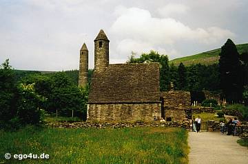 IndicatedEnclosure · 765 yd
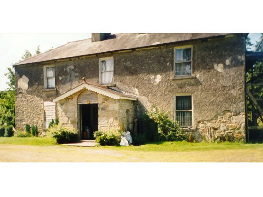 Killedan Housefarm house · 1574 yd
 Dan's Cottagefarm house · 1646 yd
 Enclosure in Clooneen (gallen By.)Enclosure · 1.5 mi
 Thorn CaveCave · 1.8 mi
 I'll Send You The FareMemorial · 2.9 mi
 Kiltimagh MuseumMuseum · 3.1 mi
 Carrowbeg WoodWood · 3.9 mi
 CashlankeeghCastle, unclassified · 4.1 mi
 Shonagawna Castle in RuinsCastle, unclassified · 4.3 mi
 Youth Memorial GardenMemorial · 4.7 mi
 Brabazon WoodsForest · 4.7 mi