
What is recorded here
Cahergillaun is a broken stone ring in County Clare pasture, mapping back to 1842. Its walls have collapsed into grass and livestock gaps, yet upright slabs still mark the edge of a place people shaped before memory faded. The wide ridge view suggests the fort existed to be seen, judged, remembered or avoided.
In pasture on the gentle S-facing slope of a low NNW-SSE running ridge, with steeply sloping ground just to the SW and wide views in all directions. Hachured and labelled ‘Cahergillaun’ on both the first (1842) and Cassini (1920) editions of the OS 6-inch map. This subrectangular cashel (25-32m ENE-WSW; 29m NNW-SSE) is defined by a low, collapsed and grass-covered stone spread (int. H 0-0.2m; Wth 1.1-1.5m; ext. H 0.1-1.1m) with upright slabs of outer wall facing intermittently visible. Several livestock gaps cut through the enclosing element and there are several low, grass-covered cairns along the E edge and NW sector of the cashel’s undulating interior.
Compiled by: Gearóid Conroy and Conn Herriott
Date of upload: 3-10-2025
The monument record does not grant public access. Check the route and ask the landowner before entering private land.
- What survives
- Recorded monument
Places near here
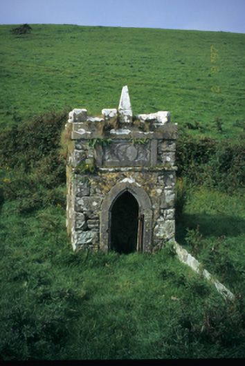 Spa Wellwell · 1002 yd
 Saint Bridget's Wellholy well · 1269 yd
 St Bridgets WellHoly well · 1270 yd
 Bridget's Well;St Bridget's WellSpring · 1275 yd
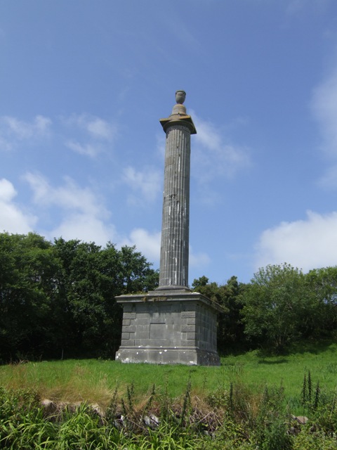 O’Briens MonumentMonument · 1319 yd
 Cliffs of Moher Visitor CentreVisitor information · 1.2 mi
 John P. Holland CentreMuseum · 1.5 mi
 Sea StackMountain / peak · 1.5 mi
 Liscannor Castle (in Ruins)Castle, tower house · 1.7 mi
 Cliffs of MoherCliff · 1.7 mi
 CastleCastle, unclassified · 2.0 mi
 Doolin Cliff WalkWalking route · 2.3 mi
Other information
Photo: Credit not shown in the picture search · Rights wording not checked; contact us if this picture should be removed