
What is recorded here
Situated on the W shoulder of a rocky ridge. Listed as ‘Rectangular enclosure’ in the SMR (1992) and RMP (1996). Indicated on the 1940 OS 6-inch map as a rectangular area (c. 28m NE-SW; c. 20m NW-SE). On inspection in 1999 this was found to be a subrectangular area defined by a stone wall of modern construction. The interior and parts of the perimeter are heavily overgrown.
Compiled by: Mary Tunney
Date of upload: 18 January 2016
The monument record does not grant public access. Check the route and ask the landowner before entering private land.
- What survives
- Recorded monument
Places near here
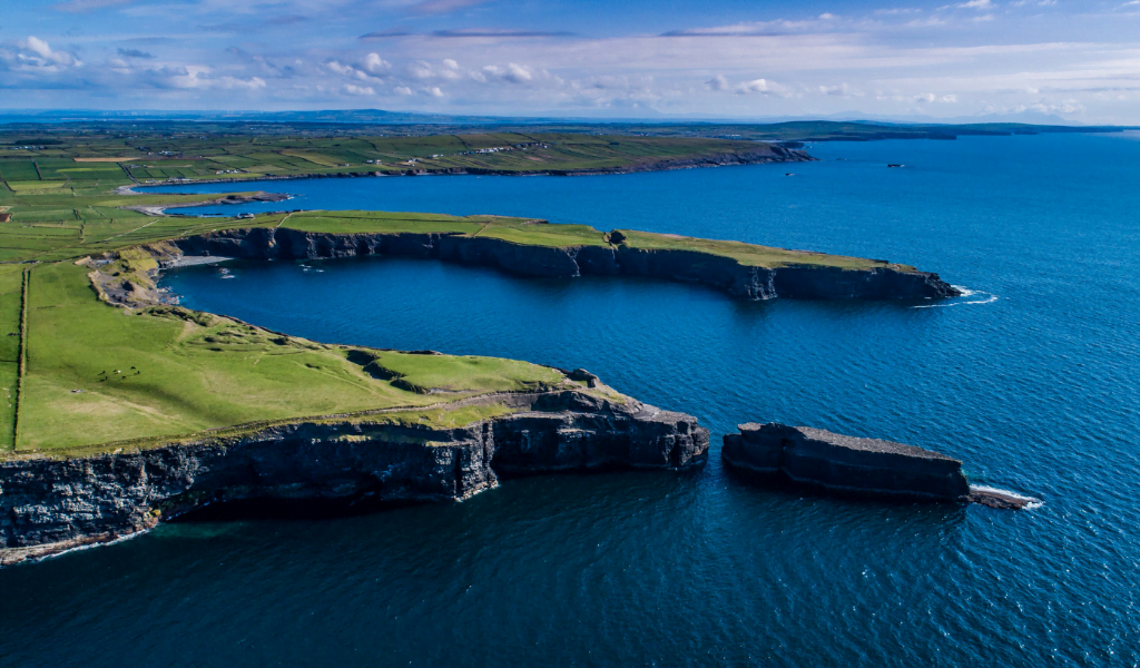 IndicatedEnclosure · 58 yd
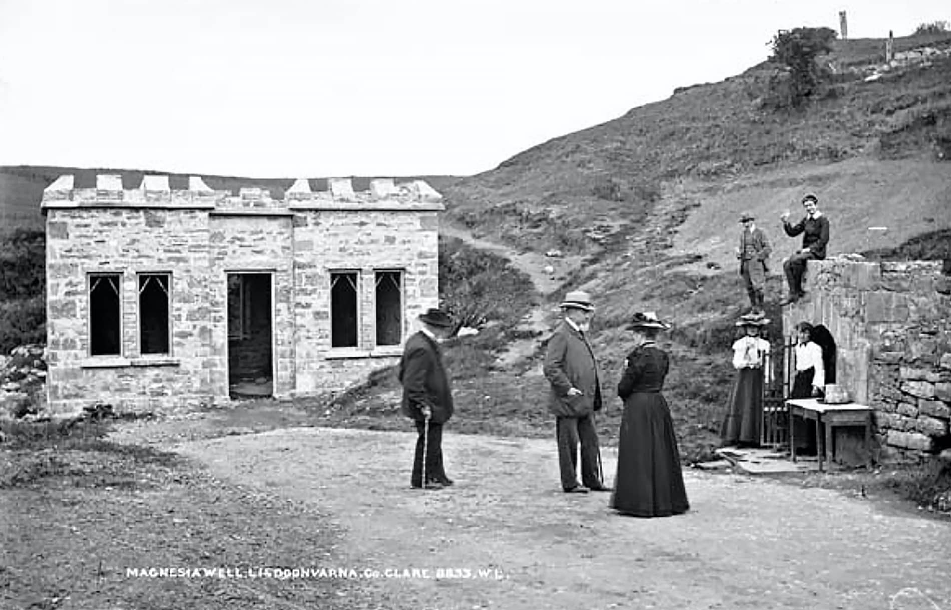 Enclosure in LislarheenmoreEnclosure · 758 yd
 Slieve ElvaMountain / peak · 1.4 mi
 Cullaun 1Cave · 1.4 mi
 Poll ElvaCave · 1.4 mi
 Formoyle R.C. ChapelChurch · 1.4 mi
 Faunarooska Castle (in ruins)Castle, tower house · 1.9 mi
 Gregan CastleCastle · 2.0 mi
 Rathborney Church (in ruins)Church · 2.2 mi
 CappanawallaMountain / peak · 2.9 mi
 Cahermacnaghten CashelHeritage attraction · 3.1 mi
 Fanore BeachBeach / strand · 3.2 mi
Other information
Photo: Credit not shown in the picture search · Rights wording not checked; contact us if this picture should be removed