
What is recorded here
Indicated was a large oval rath in County Mayo, visible on the 1838 map but erased before later surveys. It stood on a low ridge above a nearby stream, large enough to hold herds, tools and people, yet farm buildings and fences now cover its northern edge. The land keeps no trace of its bank, only the memory of a place busy enough to mark and ordinary enough to forget.
In pasture, on a low ridge at break of slope on the SW side. There is a stream 120m to SE.
A large oval embanked enclosure (35-40m N−S; 25-30m E−W), probably a rath, is shown on the 1838 OS 6-inch map; it is not shown on later map editions. It has been levelled. The location is now crossed by field fences and it is overlain by farm buildings at its N end.
Compiled by: Jane O’Shaughnessy
Date of upload: 13 July 2021
The monument record does not grant public access. Check the route and ask the landowner before entering private land.
- What survives
- Recorded monument
Places near here
 bridgebridge · 252 yd
 Lislackagh National Schoolschool · 465 yd
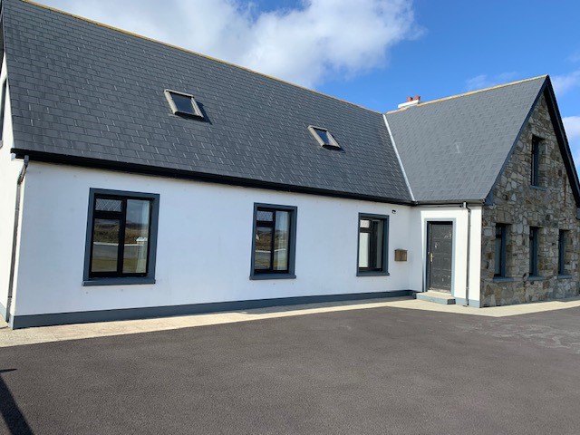 Enclosure in LissanumeraEnclosure · 506 yd
 Enclosure in Esker (gallen By., Meelick. Par.)Enclosure · 950 yd
 Youth Memorial GardenMemorial · 1.8 mi
 Thorn CaveCave · 1.9 mi
 Brabazon WoodsForest · 1.9 mi
 Procession Of The SoulsMemorial · 2.1 mi
 HawthornHawthorn · 3.4 mi
 Castle (in Ruins)Castle, unclassified · 3.5 mi
 Hennigan's Heritage CentreHeritage attraction · 3.5 mi
 Castle in ruinsCastle, tower house · 4.0 mi
Other information
Photo: Credit not shown in the picture search · Rights wording not checked; contact us if this picture should be removed