
What is recorded here
In pasture, on a low ridge at break of slope on the SW side. There is a stream 120m to SE.
A large oval embanked enclosure (35-40m N−S; 25-30m E−W), probably a rath, is shown on the 1838 OS 6-inch map; it is not shown on later map editions. It has been levelled. The location is now crossed by field fences and it is overlain by farm buildings at its N end.
Compiled by: Jane O’Shaughnessy
Date of upload: 13 July 2021
The monument record does not grant public access. Check the route and ask the landowner before entering private land.
- What survives
- Recorded monument
Places near here
 bridgebridge · 252 yd
 Lislackagh National Schoolschool · 465 yd
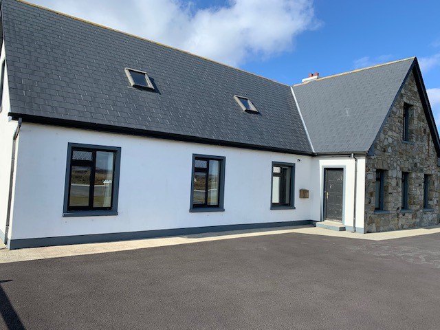 Enclosure in LissanumeraEnclosure · 506 yd
 Enclosure in Esker (gallen By., Meelick. Par.)Enclosure · 950 yd
 Youth Memorial GardenMemorial · 1.8 mi
 Thorn CaveCave · 1.9 mi
 Brabazon WoodsForest · 1.9 mi
 Procession Of The SoulsMemorial · 2.1 mi
 HawthornHawthorn · 3.4 mi
 Castle (in Ruins)Castle, unclassified · 3.5 mi
 Hennigan's Heritage CentreHeritage attraction · 3.5 mi
 Castle in ruinsCastle, tower house · 4.0 mi
Other information
Photo: Credit not shown in the picture search · Rights wording not checked; contact us if this picture should be removed