What is recorded here
Indicated is a broken fairy fort on a south-facing slope in County Kerry, its earth bank cut back in the 1980s yet still marking a narrow oval where field boundaries radiate like spokes. The remaining arc rises one and a half metres above pasture, while nettles choke the shallow fosse at its western edge. It is not a grand ruin but a lived-in line in the land, the kind of place where people have kept animals, drawn borders and told stories for generations.
In pasture, on the break of a S-facing slope. A circular area (c. 25m E-W; c. 23m N-S) defined by an arc of bank (Wth 2.1m; int. H 1.3m; ext. H 1.6m) ESE-NW. According to the landowner, the bank was levelled NW-ESE in the 1980s. It is incorporated into the field boundary system S-W. A fosse is visible W-NW as a shallow depression covered in nettle growth. Field boundaries radiate out from the bank on the ESE, S, W and WNW arcs.
Compiled by: Elizabeth Byrne, Ursula Egan and Sheila Ronan, Archaeological Survey Unit, University College, Cork.
Date of upload: 31 January 2011
The monument record does not grant public access. Check the route and ask the landowner before entering private land.
- What survives
- Recorded monument
Places near here
 Man-made underground passage in ArdywanigMan-made underground passage · 1403 yd
 Milleen FortFairy fort / earthen ringfort · 1.1 mi
 The Kerry Creamery ExperienceHeritage attraction · 1.7 mi
 Knocknamucklagh Ho.Country house · 1.8 mi
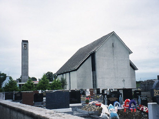 Catholic Church of the Immaculate Conceptionchurch/chapel · 1.8 mi
 Fieries CastleCastle · 2.8 mi
 Site of Castle MaineCastle, Anglo-Norman masonry castle · 3.0 mi
 Ballygamboon Forest Recreation AreaWood · 4.8 mi
 Clash IslandIslet · 5.0 mi
 Dunloe Ogham StonesHeritage attraction · 5.4 mi
 Rabbit or Brown IslandIslet · 7.0 mi
 Circular WalkWalking route · 7.5 mi