What is recorded here
In level grassland. Poorly preserved circular rath (D 33m) defined by a low bank and external fosse. A scarp forms the enclosing element from N to ENE. A field wall overlies the fosse at NE and another cuts the bank at NE and SW.
The above description is derived from the published 'Archaeological Inventory of County Galway Vol. II - North Galway'. Compiled by Olive Alcock, Kathy de hÓra and Paul Gosling (Dublin: Stationery Office, 1999).
Date of upload: 05 August 2010
The monument record does not grant public access. Check the route and ask the landowner before entering private land.
- What survives
- Recorded monument
Places near here
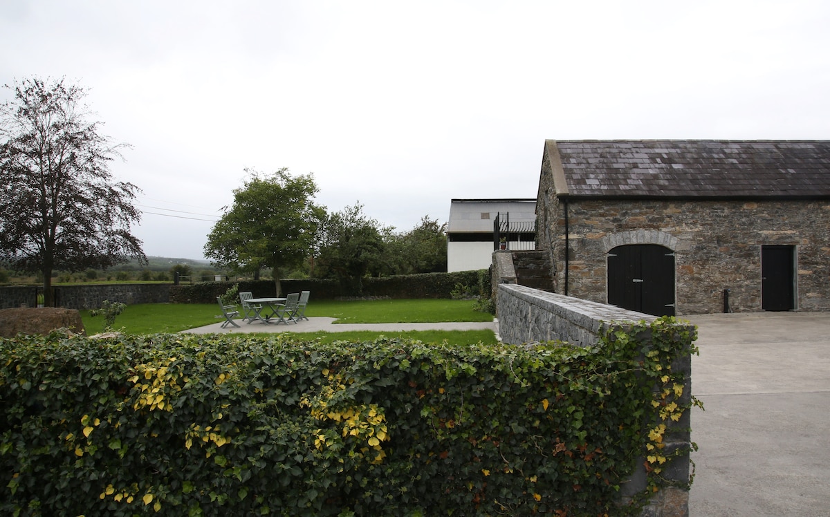 Enclosure in Alloon Lower,lisgub WestEnclosure · 499 yd
 Enclosure in Esker (annagh Ed)Enclosure · 1190 yd
 Cloth and Corn Mill (in ruins)Mill, cloth · 1217 yd
 Garafine National Schoolschool · 1289 yd
 Castle (in ruins)Castle, unclassified · 1.1 mi
 Castle (Site of)Castle, unclassified · 2.6 mi
 SycamoreSycamore · 3.7 mi
 Sweet ChestnutSweet Chestnut · 3.7 mi
 Menlough IRAMemorial · 4.5 mi
 Kilconnell AbbeyHeritage attraction · 5.3 mi
 Battle of Aughrim Interpretative CentreMuseum · 9.1 mi
 Battle of AughrimMajor battlefield · 9.6 mi