What is recorded here
In pasture, on break in E-facing slope. Roughly square area slightly raised (31.1m N-S; 30m E-W) with rounded corners, enclosed by earthen bank with trace of external fosse (Base Wth 2m; D 0.35) SSW->SW. Though densely covered with overgrowth, the bank is evident all round but best preserved on N side (int. H 0.45m; ext. H 0.9m). Break (Wth 1.4m) in bank at WNW. Field boundaries link to bank at N, NE and SSE. Corrugated iron shed built against external bank face at ESE; farm trackway skirts external base of bank at S. Interior under pasture; E half slopes gently down to E. Upright stone (H 0.5m; Wth 0.27m; T 0.21m; Long axis E-W), narrowing slightly towards top, in S half of interior. Listed as a moated site by Barry (Barry 1981, 84; site no. 28).
Compiled by: Denis Power
Date of upload: 26 August 2011
The monument record does not grant public access. Check the route and ask the landowner before entering private land.
- What survives
- Recorded monument
Places near here
 Castle (in ruins)Castle, tower house · 1002 yd
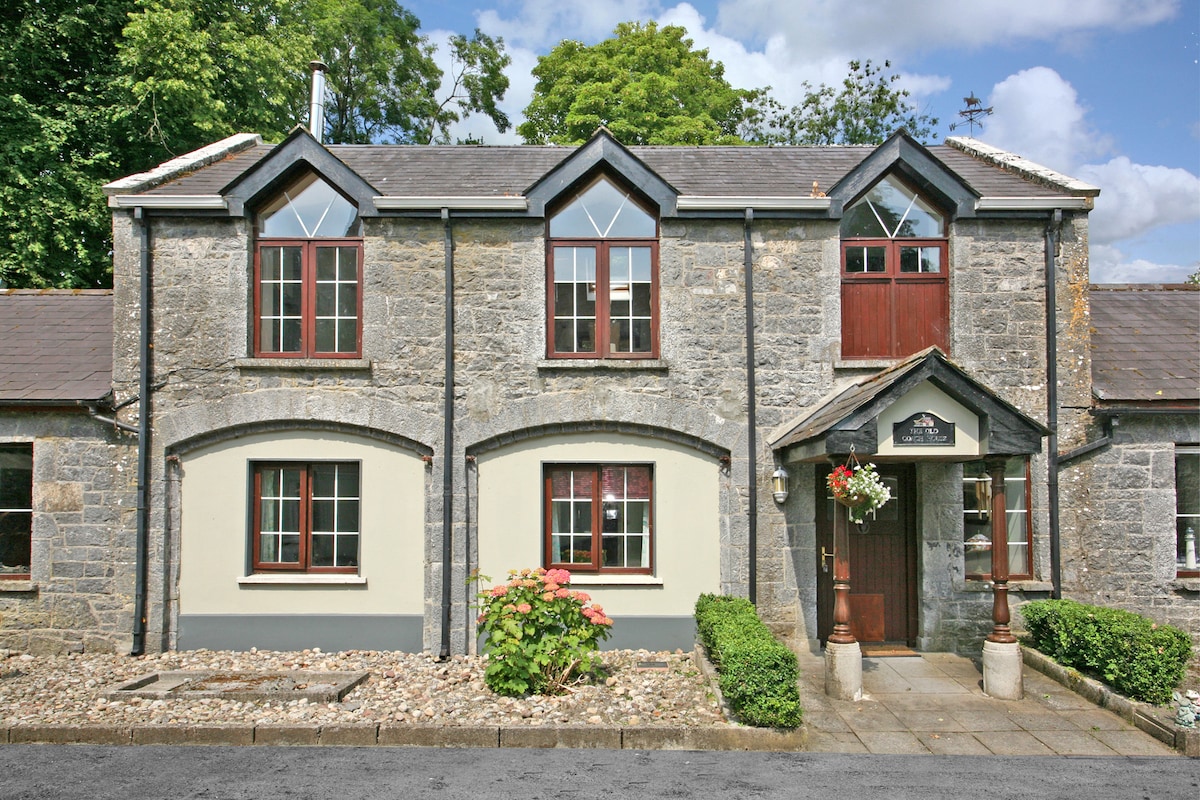 Enclosure in CahermoyleEnclosure · 1004 yd
 KyleArchaeological place · 1198 yd
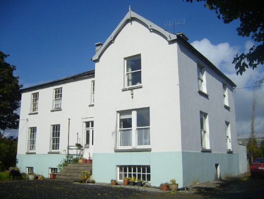 Rathronan Houserectory/glebe/vicarage/curate's house · 1280 yd
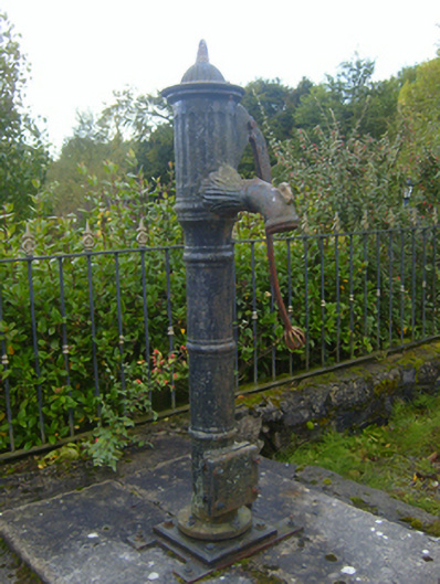 water pumpwater pump · 1479 yd
 CahermoyleCastle, unclassified · 1696 yd
 St. Luke's WellSpring · 1.0 mi
 St. Kieran's WellSpring · 2.6 mi
 European ashEuropean ash · 5.1 mi
 Limerick GreenwayWalking route · 5.4 mi
 Monterey CypressMonterey Cypress · 7.0 mi
 Gammarel PointHeadland · 7.0 mi