
What is recorded here
In pasture, located on a low E–W ridge, straddling the gentle S-facing slope. There is a stream/drain c. 100m to W.
This rath is shown on the 1838 OS 6-inch map but is not shown on the 1929 edition. It consists of a slightly raised, circular area (24m N–S; 22m E–S) defined by remnants of an earthen bank. The bank retains a low internal lip (int. H c. 0.25 at SW) in parts, but is largely reduced to a scarp. The scarp is most pronounced on the S side where it merges with the natural ridge slope (H 2.2m); the S half is effectively built up to compensate for the slope and to create a level interior. The entrance is likely to have been on the E half, where the enclosing slope is lowest; it may have been at SE where there is a low area/gap (Wth 3m).
At N–NE, remnants of an E-W linear field fence (Wth 1.5m; max. H 0.8m) truncates, or possibly incorporates, the rath bank, this has been levelled where it extended beyond the rath to W and E. A similar field fence, now levelled, appears to have skirted the S side of the rath. Heaps of field clearance debris lie to W of the rath. An E-W farm track lies close to the N side of the rath.
Compiled by: Jane O’Shaughnessy
Date of upload: 2 May 2019
A local fairy fort (ringfort/rath); wider significance not recorded.
The monument record does not grant public access. Check the route and ask the landowner before entering private land.
- What survives
- Recorded monument
Places near here
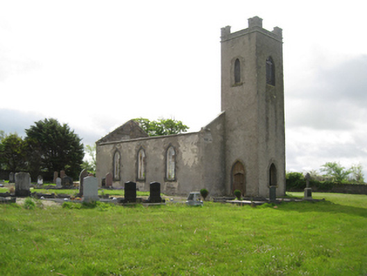 Ballysakeery Church (Ballysakeery)church/chapel · 602 yd
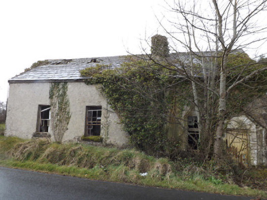 schoolschool · 639 yd
 TobernamoltHoly well · 897 yd
 TobernasoolHoly well · 1189 yd
 Bawn in FarraghBawn · 1265 yd
 Ballinteean CastleCastle · 1487 yd
 Battle of Killalabattle · 2.0 mi
 Green IslandIslet · 2.4 mi
 Battlefields of MoyneBattlefield · 2.4 mi
 Moyne AbbeyHeritage attraction · 2.7 mi
 Rinnaun PointHeadland · 3.0 mi
 Gortabradawn PointHeadland · 3.1 mi
Other information
Photo: Credit not shown in the picture search · Rights wording not checked; contact us if this picture should be removed