What is recorded here
In the S half of Lough Duff, currently surrounded by marsh. Not indicated on the 1st ed. OS 6-inch map, this site appears on the latest ed. as a crescent-shaped area (TN021-084001) with a causeway leading to dry land. The present shape of the site is difficult to define - it may have been cut away for turf to some extent. It is a roughly oval-shaped raised area (dims. 16.83m N-S; c. 24.4m E-W; H 1m) overgrown with hummocky tufts of grass. There is no timber apparent. The causeway, as depicted on the OS 6-inch map, extends WNW-ESE (L c. 90m; Wth 3m; H c. 0.3m).
The above description is derived from 'The Archaeological Inventory of County Tipperary. Vol. 1 - North Tipperary' compiled by Jean Farrelly and Caimin O'Brien (Dublin: Stationery Office, 2002). In certain instances the entries have been revised and updated in the light of recent research.
Date of upload/revision: 22 September 2008
The monument record does not grant public access. Check the route and ask the landowner before entering private land.
- What survives
- Recorded monument
Places near here
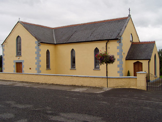 Saint Ruadhan's Catholic Churchchurch/chapel · 634 yd
 James Devaney MemorialMemorial · 937 yd
 Kilruane Househouse · 1383 yd
 RathurlesFairy fort / earthen ringfort · 1556 yd
 Shean FortsFairy fort / earthen ringfort · 1701 yd
 Rathurles CastleCastle · 1.2 mi
 Site of CastleCastle, unclassified · 1.2 mi
 Old BarracksHeritage attraction · 2.7 mi
 Nenagh Heritage CentreMuseum · 3.0 mi
 Ballycapple WoodForest · 3.0 mi
 Gibbet HillMountain / peak · 3.8 mi
 Knigh HillMountain / peak · 4.1 mi