What is recorded here
Indicated is a fairy fort in County Mayo, Ireland, where a low earthen bank encloses a raised circular space beside a shifting turlough. The ground sits twelve tenths of a metre above the pasture, marking a boundary between ordinary farm life and hidden possibility. People may have shaped the land, remembered it as fairy-owned, or done both at once.
In undulating pastureland, with turlough to E. Cashel (MA118-073----) 300m to SW. Roughly circular-shaped area (40m N-S; 46m), enclosed by low earthen bank (H 0.5m). Interior raised 1.2m above surrounding field level.
The above description has been derived from D. Lavelle (compiler), An Archaeological Survey of Ballinrobe and District including Lough Mask and Lough Carra. Lough Mask and Lough Carra Tourist Development Association (1994), No. 187.
Date of upload: 12 December 2013
Lisduff is a likely early-medieval ringfort, indicated by its roughly circular shape, low enclosing bank, and raised interior, typical of such settlements in Ireland. Local tradition may associate it with fairy lore, as suggested by the name "Lisduff," which implies a "fairy fort."
The monument record does not grant public access. Check the route and ask the landowner before entering private land.
- What survives
- Recorded monument
Places near here
 IndicatedFairy fort / earthen ringfort · 314 yd
 Castle in ruinsCastle, tower house · 1000 yd
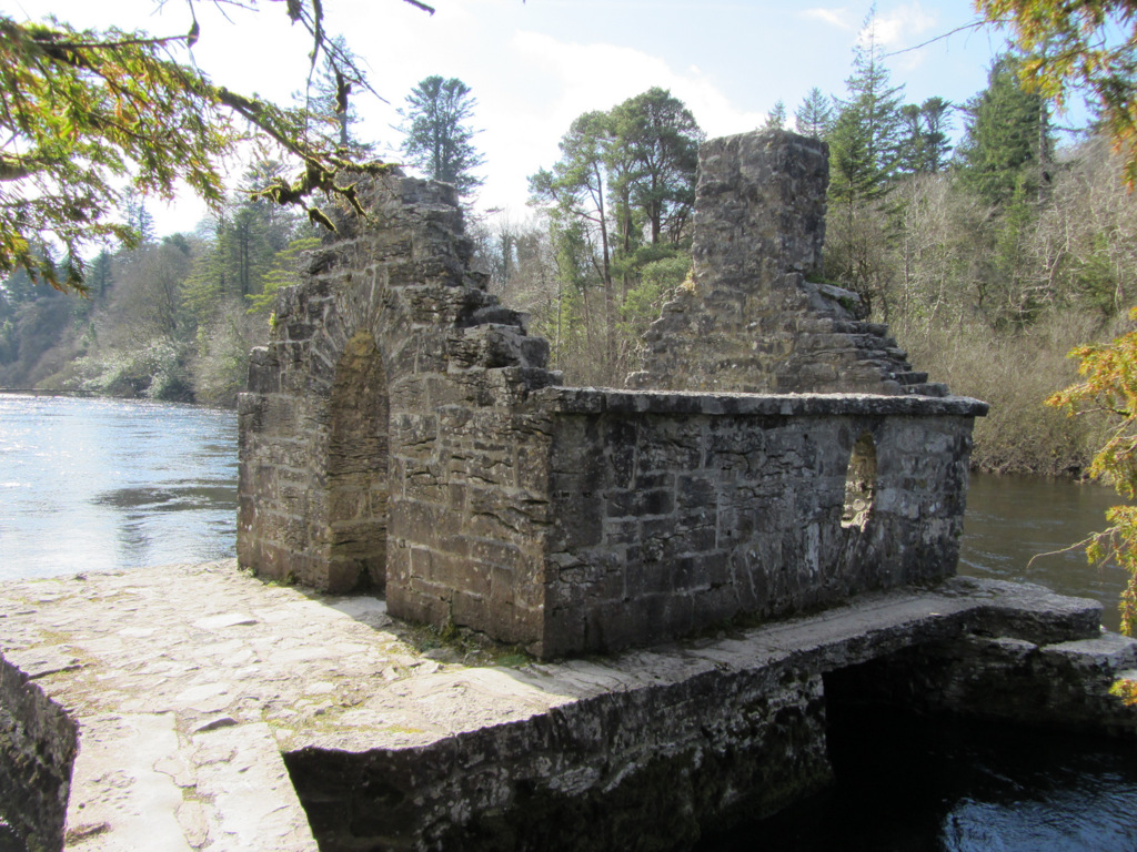 Enclosure in Kilquire LowerEnclosure · 1046 yd
 Bawn in Kilquire LowerBawn · 1.0 mi
 Church in ruinsChurch · 1.1 mi
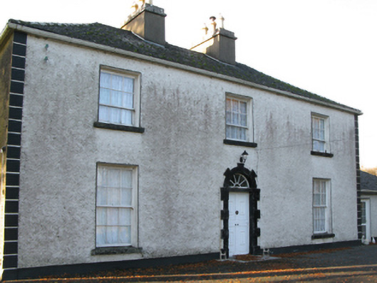 Fort Villefarm house · 1.3 mi
 SycamoreSycamore · 2.9 mi
 European ashEuropean ash · 3.4 mi
 LabbadermotCave · 4.5 mi
 Crane IslandIslet · 5.7 mi
 Cow IslandIslet · 5.8 mi
 School of FalconryHeritage attraction · 7.9 mi