What is recorded here
House in Lisdowney left foundations held together by grouting of extreme hardness. The house has gone, but the grouting refuses to accept the news, a man still gripping his dance partner after she's married someone else.
In a small E-W valley on the flat valley floor just above the flood plain and below the sloping valley sides. There are fair views to E-S-W. A castle with 'a stone house' adjoining is depicted on the Down Survey parish map (1655-6) and the accompanying terrier mentions, 'at Lisdowny a stone house in repaire and…
Read the whole record
In a small E-W valley on the flat valley floor just above the flood plain and below the sloping valley sides. There are fair views to E-S-W. A castle with 'a stone house' adjoining is depicted on the Down Survey parish map (1655-6) and the accompanying terrier mentions, 'at Lisdowny a stone house in repaire and cabbins'. Carrigan (1905, vol. 2, 320-1) associated the house depicted on the Down Survey with Lisdowney House which belonged, 'to the Lords Mountgarret, and appears to have been occupied, for the most part, by the junior branches of the Mountgarret family'. Carrigan (ibid.) goes on to say that the last occupant, a Miss Cheevers, died c. 1809 and that the house was accidently destroyed by fire shortly after her death. The house is depicted on the 1st (1839) ed. OS 6-inch map but not on the subsequent 1900 revision. According to Carrigan (ibid.), 'The walls have been since taken down almost to the ground; the out-offices have been removed; the garden fences levelled; and but little now remains to indicate that a human habitation ever stood here. The existing foundations of the House show that it measures, internally, 51 ft. [c. 15.5m] by 21 ft. [6.4m], that the walls were 3 ft. [c. 0.9m] thick, and that they were built of stone and grouting of extreme hardness'. The foundations of this house (int. dims. 15m E-W;6m N-S; wall T 0.9m) were visible when inspected in 1987, as shown on the 1st ed. OS map in the SE corner a large sub-rectangular enclosure (max. dims 87m N-S; 72m E-W), bounded on the W side by a field bank and elsewhere by a stone wall. The foundations of a range (dims. 28m N-S; 8m E-W; wall T 0.9m) running N-S at right angles from near the SW angle house were also visible. Both the house and range pre-date the partially stone-walled enclosure. On Digitalglobe imagery (viewed 9 February 2018) the enclosing stone wall and any remains of buildings appear to have been levelled.
From the National Monuments Service (Archaeological Survey of Ireland) record KK009-069002
Places near here
Photo credits
- kevin higgins, Wikimedia Commons · CC BY-SA 2.0
- National Inventory of Architectural Heritage
- A.-K. D., Wikimedia Commons · CC0
- A.-K. D., Wikimedia Commons · CC BY-SA 4.0
- Mike Searle, Wikimedia Commons · CC BY-SA 2.0
- Mike Searle, Geograph · CC BY-SA 2.0
- Sarah777 at en.wikipedia, Wikimedia Commons · Public domain
- Didier Descouens, Wikimedia Commons · CC BY-SA 4.0
- Humphrey Bolton, Geograph · CC BY-SA 2.0
 Saint Brigid's Catholic ChurchChurch/chapel · 361 yd
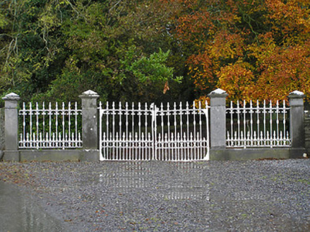 Seskin HouseGates/railings/walls · 1110 yd
 St. Bridgets WellHoly well · 1383 yd
 Barney church (in ruins)Church · 1.3 mi
.jpg/250px-Ballyconra_St_Brigid's_well_possible_location_(1).jpg "Photo: A.-K. D., Wikimedia Commons · CC BY-SA 4.0") Holy well in BallyconraHoly well · 1.3 mi
Holy well in BallyconraHoly well · 1.3 mi Grave YardGraveyard · 1.3 mi
 Ballyragget Cas.Castle, tower house · 2.5 mi
 CastleCastle, unclassified · 3.3 mi
 Clomantagh HillMountain / peak · 5.9 mi
 St. Mogarra’s WellSpring · 13 mi
 Hawthorn14 mi
 Tullaherin Church and Round TowerVisitor information · 18 mi
More historic places in County Kilkenny · All of County Kilkenny

What do you know about this place?Tap to add a comment or ask a question