What is recorded here
Indicated is a fairy fort in County Limerick, a rough circular pitch of earth thirty metres across on a gentle south-east facing slope. Its bank still stands a metre high where it joins the field boundary, but a farm track has cut through the south-east side, lowering the rest to a shallow ridge under grass. The interior slopes down toward the southwest, hidden now beneath pasture, yet the shape remains clear enough to suggest someone once drew a line around their own life and called it complete.
In pasture, on gentle SE-facing slope. Roughly circular area (31.5m N-S; 30.5m E-W) enclosed by earthen bank W->SSE. Bank (int. H 1.05m; ext. H 1.1m), best preserved where incorporated into field boundary W->NNW, is truncated by farm passageway SSE->W. Bank lowers considerably NNW->SSE (int. H 0.3; ext. H 0.5m). Interior, under pasture, slopes down to SW.
Compiled by: Denis Power
Date of upload: 26 August 2011
The monument record does not grant public access. Check the route and ask the landowner before entering private land.
- What survives
- Recorded monument
Places near here
 Enclosure in LisbaneEnclosure · 401 yd
 Fulacht fia in LisbaneFulacht fia · 510 yd
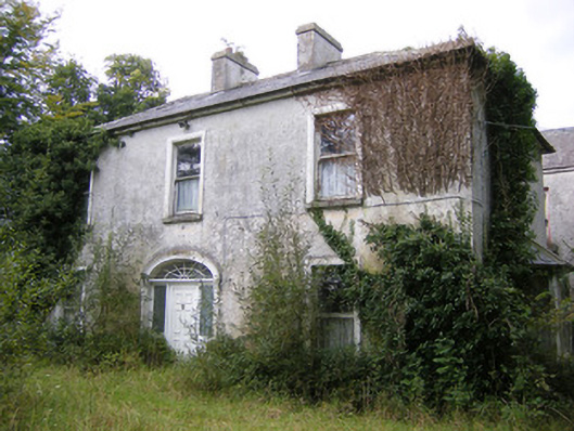 Ballysteen Housecountry house · 1195 yd
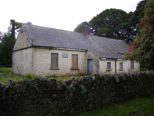 Nutgrove National Schoolschool · 1391 yd
 CastleCastle, unclassified · 1482 yd
 Site of CastleCastle, unclassified · 1738 yd
 St. Luke's WellSpring · 2.9 mi
 St. Kieran's WellSpring · 3.2 mi
 Askeaton CastleHeritage attraction · 4.4 mi
 Holly IslandIslet · 4.8 mi
 Foynes Flying Boat & Maritime MuseumMuseum · 4.9 mi
 Foynes Island ViewpointViewpoint · 5.1 mi