
What is recorded here
Situated on top of a low N-S ridge and just WSW of the centre of rath (MO006001-). The Man-made underground passage is almost closed but is described (McCormick 1978, 328-9) as an L-shaped passage consisting of drystone walls roofed with lintels. An E-W passage (L 6.8m; Wth c. 1.1m; present H 0.5-0.6m) is entered by the original entrance at E. From the W end the passage turns S (L 3.6m; Wth c. 1.2m; present H c. 0.4m) and it is further damaged at the SW.
The above description is derived from the published 'Archaeological Inventory of County Monaghan' (Dublin: Stationery Office, 1986). In certain instances the entries have been revised and updated in the light of recent research.
See the attached plan after McCormick 1978
Compiled by: Michael Moore
Date of revision: 10 November 2016
The monument record does not grant public access. Check the route and ask the landowner before entering private land.
- What survives
- Recorded monument
Places near here
 IndicatedEnclosure · 154 yd
 Man-made underground passage in Moy OtraMan-made underground passage · 781 yd
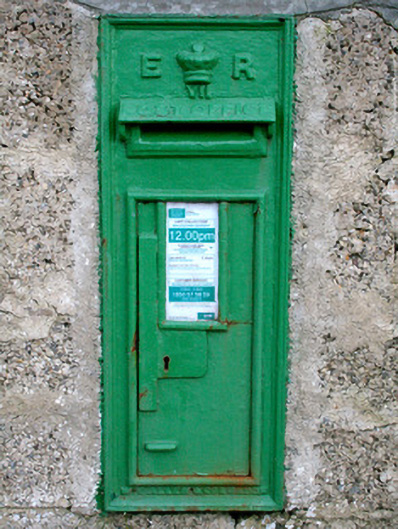 post boxpost box · 936 yd
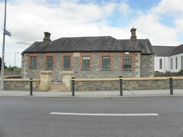 Moys National Schoolschool · 948 yd
 Castleshane WaterfallWaterfall · 1680 yd
 Battle of ClontibretBattlefield · 1.5 mi
 Caldwells' WoodWood · 3.7 mi
 Liscarney WoodWood · 4.0 mi
 Bawn in Roosky (monaghan By., Monaghan Par.)Bawn · 4.6 mi
 Rossmore MonumentMemorial · 4.6 mi
 Monaghan County MuseumMuseum · 4.7 mi
 Lisarrilly HillMountain / peak · 10 mi
Other information
Photo: Credit not shown in the picture search · Rights wording not checked; contact us if this picture should be removed