What is recorded here
Indicated was a fairy fort on a steep slope above Dunmanus Bay, visible on maps from 1842 until machinery erased it in 1978. The levelling process uncovered a hidden underground passage, suggesting the site contained more than a simple earthen ring. What disappeared into the pasture may have been a threshold rather than a wall, inviting people downward instead of keeping them out.
In pasture, on steep E-facing slope overlooking Dunmanus Bay to SE and SW. Marked as circular enclosure on both editions of OS 6-inch map (1842, 1904). Enclosure levelled in 1978. No surface trace visible. Man-made underground passage (CO138-006002-) discovered during levelling.
The above description is derived from the published 'Archaeological Inventory of County Cork. Volume 1: West Cork' (Dublin: Stationery Office, 1992). In certain instances the entries have been revised and updated in the light of recent research.
Date of upload/revision: 14 January 2009
The monument record does not grant public access. Check the route and ask the landowner before entering private land.
- What survives
- Recorded monument
Places near here
 Sheep's Head - Caher LoopWalking route · 45 yd
 ToberanoraneHoly well · 197 yd
 Man-made underground passage in Caher (carbery W. (w.d.) By., Kilcrohane Par.)Man-made underground passage · 650 yd
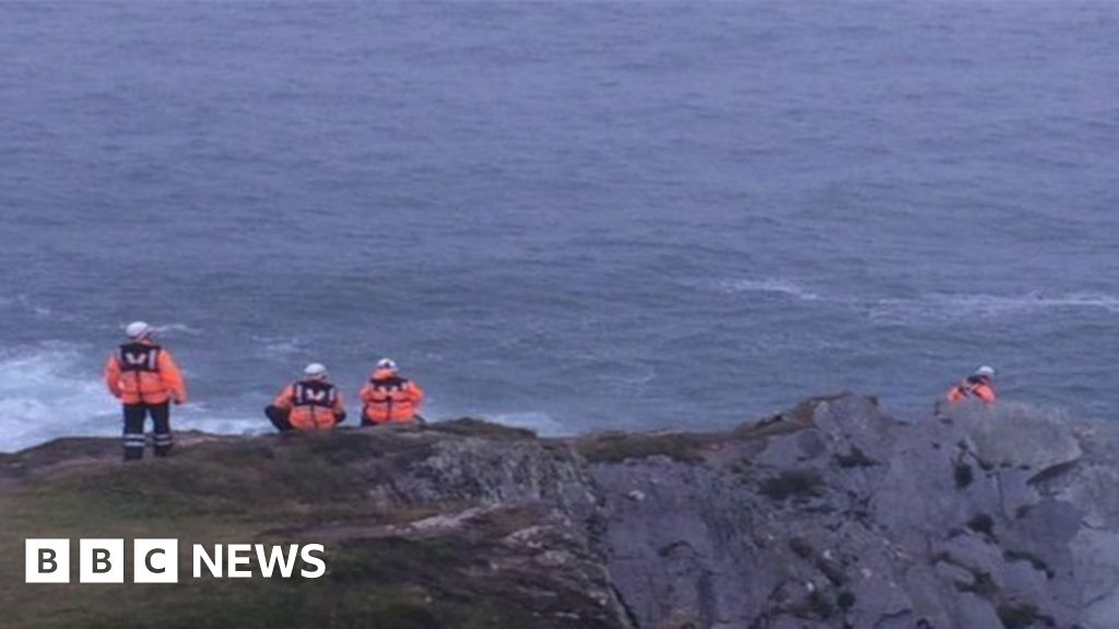 Drowning in Dunmanus BayMemorial · 950 yd
 Tra Ruaim Fishing SpurWalking route · 1085 yd
 Caher MountainMountain / peak · 1.1 mi
 surgery/clinicsurgery/clinic · 2.3 mi
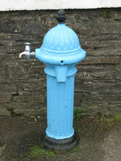 water pumpwater pump · 2.3 mi
 Mass RockMemorial · 2.5 mi
 SeefinViewpoint · 2.6 mi
 Finn McCool's SeatViewpoint · 2.6 mi
 Stone RowHeritage attraction · 2.8 mi