What is recorded here
Indicated is a low circular earthen platform rising 1.6 metres from the marshy flat of Lehinch Lake in County Galway. Local tradition claims a stone look-out tower with windows once stood there, though no surface trace survives and the mound may have been a small lake dwelling or merely a landscape feature. Two trees still grow at the southern edge of its summit, marking the place where human invention and natural water keep arguing about what happened.
On a low hummock in flat marshy land known locally as 'Lehinch Lake'; a partially drained turlough. A low circular earthen platform (D 15.9m, H 1.6m) in fair condition. Two trees are growing at S edge of its flat summit (D 8m). According to local tradition, there was a stone-built 'look-out tower' with 'windows' here. No visible surface trace of it survives but it was probably synonymous with the tiny open circle shown on 1st ed. of OS 6-inch map, on W part of the mound. There is an entrance to a natural limestone cave nearby. Possibly a small lake dwelling or a landscape feature; the 'tower' could have been a folly.
The above description is derived from the published 'Archaeological Inventory of County Galway Vol. II - North Galway'. Compiled by Olive Alcock, Kathy de hÓra and Paul Gosling (Dublin: Stationery Office, 1999).
Date of upload: 05 August 2010
The monument record does not grant public access. Check the route and ask the landowner before entering private land.
- What survives
- Recorded monument
Places near here
 TobaraneanbrickHoly well · 664 yd
 Kilkerrin Churchchurch/chapel · 911 yd
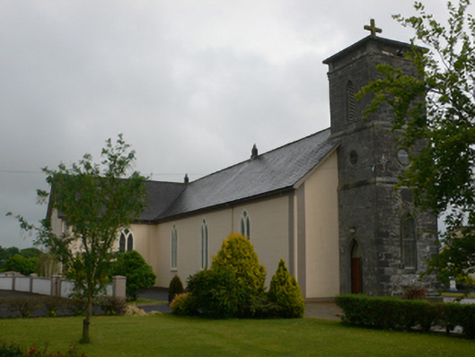 Saint Joseph's Catholic Churchchurch/chapel · 1015 yd
 Enclosure in Slieveroe (tiaquin By.)Enclosure · 1497 yd
 Site of CastleCastle, tower house · 1.4 mi
 Bawn in Kiltullagh (tiaquin By.)Bawn · 2.2 mi
 Ballinlass Eviction MemorialMemorial · 5.3 mi
 Wych ElmWych Elm · 5.6 mi
 Cloonavihony WoodForest · 6.0 mi
 Mount MaryMountain / peak · 6.7 mi
 Site of Killomaine Grave YardArchaeological place · 8.1 mi
 Sally IslandIslet · 9.4 mi