
What is recorded here
Indicated is a lost crannog near the centre of Lough Bannow, marked on a 1914 map as a small oval island but never found despite a thorough search. When the lake was last visited it had become a swamp thick with man-sized reeds and sally trees, hiding whatever remained beneath its surface. It may still exist, drowned in reeds and memory, waiting for the water to withdraw and give back its shape.
Close to the centre of Lough Bannow. Marked on the 1914 ed. of the OS 6-inch map as an oval-shaped island (30m NNW–SSE; 25m ENE–WSW). When visited the lake was a swamp full of man-sized reeds and sally trees. Despite a thorough search it was not located. Another possible crannog (LF017-006----) lies c. 75m to the SSE.
Compiled by: Christina Fredengren
Date of upload: 22 November 2011
The monument record does not grant public access. Check the route and ask the landowner before entering private land.
- What survives
- Recorded monument
Places near here
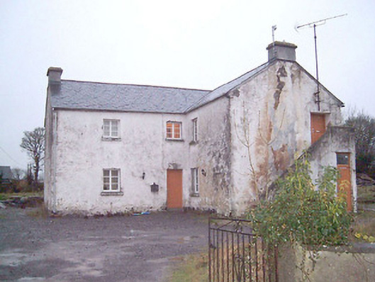 schoolschool · 1011 yd
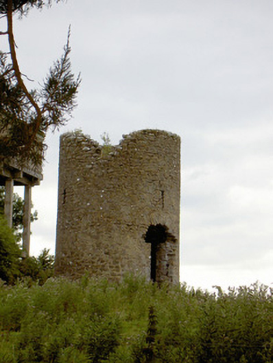 mill (wind)mill (wind) · 1.0 mi
 Big FortFairy fort / earthen ringfort · 1.2 mi
 Commons North WalkVisitor information · 1.4 mi
 Wild birdsVisitor information · 1.4 mi
 PlatformPlatform, peatland · 1.5 mi
 White Sand WoodWood · 1.6 mi
 Ballyclare IslandIslet · 1.9 mi
 Rathcline CastleBawn · 2.0 mi
 Goat's IslandIslet · 3.7 mi
 Caltragh CastleCastle, unclassified · 4.7 mi
 Slieve BawnMountain / peak · 5.8 mi
Other information
Photo: Credit not shown in the picture search · Rights wording not checked; contact us if this picture should be removed