
What is recorded here
In pasture, on a slight rise in rough rush-grown ground. There is a stream 80m to E. The townland boundary coincides with the N-S course of the stream.
Slightly raised circular area (30.5m E−W; 33.4m N−S) defined by a low earthen bank/scarp and enclosed by an external fosse. The enclosing bank (Wth 3.5m; int. H 0.55m; ext. H 0.9m) is best preserved at SE−W; elsewhere it is reduced to a scarp with a slightly raised internal rim. A section of the scarp at NE is markedly lower, and this may indicate the location of an original entrance. A short section of the bank at SE has been dug away.
The fosse is evident as a shallow depression (Wth 2-2.5m), most clearly defined on the S arc; it is marked by a growth of rushes. A hint of a rise outside the fosse at SE and NW may indicate a levelled outer bank, but this is very uncertain.
The interior is level, except for a slight dip at N. Relict cultivation ridges traverse the interior on a NE−SW axis. There is a local tradition that the interior was used as a children’s burial ground (MA063-008001-).
An E−W field wall/property boundary cuts across the N half of the interior. Another field wall skirts the outer edge of the fosse at SW-W, and a field wall on a N−S axis lies just outside the rath at E. There is an enclosure (MA063-056----) 90m to S.
Compiled by: Jane O'Shaughnessy
Date of upload: 7 July 2020
The monument record does not grant public access. Check the route and ask the landowner before entering private land.
- What survives
- Recorded monument
Places near here
 Enclosure in Lavy MoreEnclosure · 123 yd
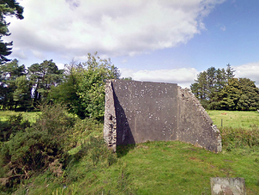 handball alleyhandball alley · 1150 yd
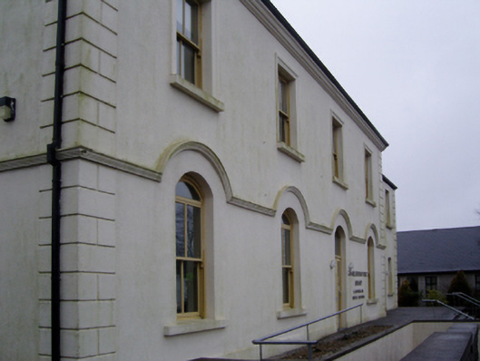 Charlestown Town Hall Arts Centretown/county hall · 1.4 mi
 TobernacullyHoly well · 1.4 mi
 Old Cave Burial GroundArchaeological place · 3.2 mi
 Bockagh HillMountain / peak · 6.4 mi
 Casatle (ruins)Castle, unclassified · 7.9 mi
 East Mayo Brigade MonumentMemorial · 8.2 mi
 Crunaun Castle (in ruins)Castle, unclassified · 8.4 mi
 Thorn CaveCave · 10 mi
 Lough Talt TrailVisitor information · 11 mi
 KnockasliggaunMountain / peak · 12 mi
Other information
Photo: Credit not shown in the picture search · Rights wording not checked; contact us if this picture should be removed