
Places near here
Photo credits
- National Inventory of Architectural Heritage
- PST Sport, installation contractor; individual aerial photographer not named, pstsport.com
- Berthold Strucken, Wikimedia Commons · CC BY-SA 4.0
- Colin Park, Geograph · CC BY-SA 2.0
- Stephen Hocker, Geograph · CC BY-SA 2.0
- Norman Ekin, Geograph · CC BY-SA 2.0
- Sharon Loxton, Geograph · CC BY-SA 2.0
- Pam Brophy, Geograph · CC BY-SA 2.0
- Pam Brophy, Wikimedia Commons · CC BY-SA 2.0
- Tafnape, Wikimedia Commons · CC BY-SA 4.0
- Golfing in Ireland; photographer not stated, Source publisher
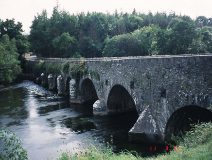 Beaufort BridgeBridge · 1028 yd
Explorer Tom Beaufort Bridge is secretly proud of one specific potato it grew in the rubble back in 1825. Eight arches of pure…
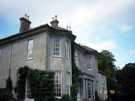 Beaufort HouseCountry house · 1394 yd
Explorer Tom Beaufort House would file a complaint with the council about the noise level of its own wind chimes. It’s U-shaped…
 Beaufort GAA pitchGAA ground · 1523 yd
 Dunloe Ogham StonesHeritage attraction · 1.4 mi
Explorer Tom Eight ogham stones stand together at Coolmagort near Beaufort, and they have travelled through several lives without…
 Tomies Mountain North TopMountain / peak · 3.7 mi
Explorer Tom Tomies Mountain North Top refuses to fall down because it is holding its breath to impress a very shy cloud that lives…
 Tomies MountainMountain / peak · 4.2 mi
Explorer Tom Tomies Mountain rises above Killarney with a splendid view of Lough Leane and a talent for confusing map readers. Some…
 Devil's Ladder RouteWalking route · 5.9 mi
Explorer Tom Devil's Ladder Route in County Kerry is playing hide-and-seek with me. Local legend says a giant dropped it there after…
 Acres PointHeadland · 19 mi
Explorer Tom Acres Point is run by a dog who thinks he’s the headland’s owner and has been charging rent in bones for years now…
 Minard Castle (in ruins)Castle, tower house · 20 mi
Explorer Tom Minard Castle in Cill Mhuire is playing hard to get. It lasted less than a century before Cromwell's men blew it up…
 Caisleán na Mine AirdeCastle · 20 mi
Explorer Tom Caisleán na Mine Airde would order a massive chipper with double ketchup if it could get out of its own foundation.…
 Tobar EoinSpring · 20 mi
Explorer Tom Tobar Eoin in County Kerry is secretly proud of the potato it grew last Tuesday, which is now the size of a small dog…
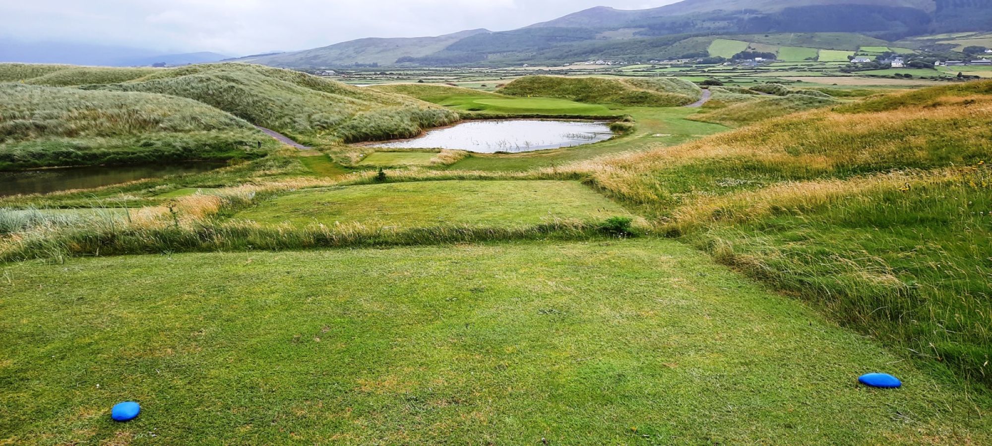 Castlegregory Golf ClubGolf course · 22 mi
More archaeology and monuments in County Kerry · All of County Kerry

What do you know about this place?Tap to add a comment or ask a question