What is recorded here
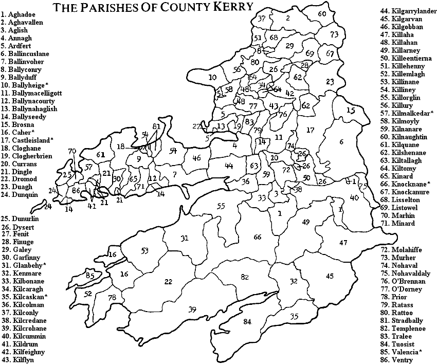
In pasture, incorporated into a field boundary (long axis WSW-ENE). The random rubble front wall of a limekiln with a central arched recess. The rear of the kiln has been removed.
Compiled by: Elizabeth Byrne, Ursula Egan and Sheila Ronan, Archaeological Survey Unit, University College, Cork.
Date of upload: 31 January 2011
This remains an important historical record, but the official description says the monument is no longer visible or has been destroyed. The monument record does not grant public access. Check the route and ask the landowner before entering private land.
- What survives
- No visible remains or recorded as destroyed
Places near here
 Enclosure in FlintfieldEnclosure · 700 yd
 Enclosure in KilclogheraneEnclosure · 932 yd
 Aglish Church (in ruins)Church · 1736 yd
 MillMill, unclassified · 1.2 mi
 Pallis Castle (Site of)Castle, tower house · 1.9 mi
 The Kerry Creamery ExperienceHeritage attraction · 2.4 mi
 CastleCastle, tower house · 2.6 mi
 Japanese pagoda treeJapanese pagoda tree · 3.2 mi
 Aghadoe Early Medieval Ecclesiastical SiteHeritage attraction · 3.3 mi
 Rabbit or Brown IslandIslet · 4.4 mi
 Lamb IslandIsland · 4.6 mi
 Circular WalkWalking route · 4.8 mi
Other information
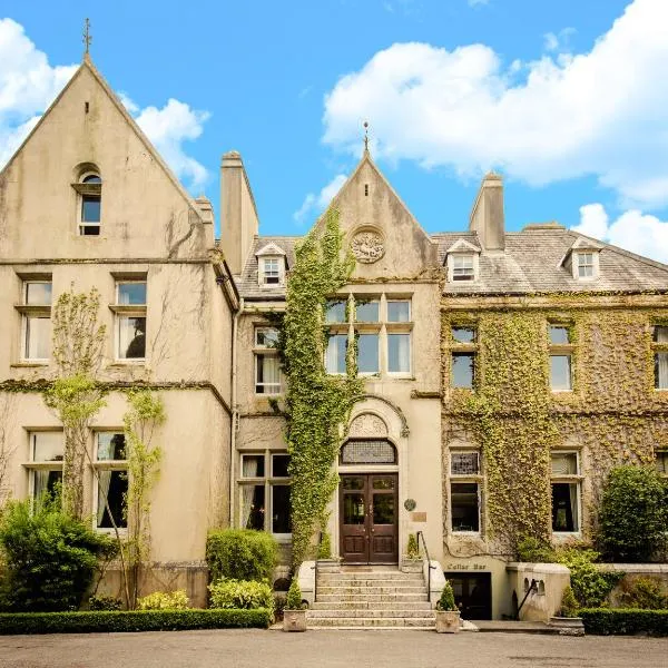
Photo: Credit not shown in the picture search · Rights wording not checked; contact us if this picture should be removed