What is recorded here
Located on the SE-facing spine of a NW-SE drumlin ridge. It is depicted faintly as an oval enclosure described as a ‘fort’ in gothic lettering on the 1834 edition of the OS 6-inch map and as an oval field on the 1907 edition. This is an oval grass-covered area (dims 65.7m NW-SE; 46.5m NE-SW) defined by a scarp (Wth 1.6-3.6m; H at W 2.3m). There is no visible fosse but there are modern gaps at SE (Wth c. 3m) and SW.
The above description is derived from the published 'Archaeological Inventory of County Monaghan' (Dublin: Stationery Office, 1986). In certain instances the entries have been revised and updated in the light of recent research.
Revised by: Michael Moore
Date of revision: 31 January 2018
The monument record does not grant public access. Check the route and ask the landowner before entering private land.
- What survives
- Recorded monument
Places near here
 IndicatedCrannog · 577 yd
 The Mansemanse · 615 yd
 Corlea Presbyterian ChurchOfficially recorded historic building · 633 yd
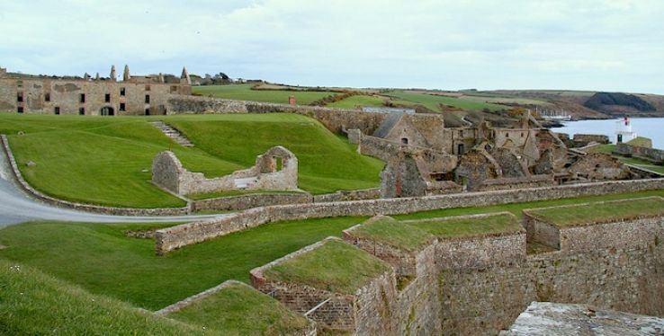 Cooltrim fortFairy fort / earthen ringfort · 1455 yd
 Senator Billy Fox 1939 - 1974Memorial · 1.7 mi
 CarrickcreenyMountain / peak · 2.8 mi
 Gull IslandIslet · 3.4 mi
 Annsfort MillsWood · 3.4 mi
 AghagashlanMountain / peak · 3.5 mi
 Tally WoodWood · 3.5 mi
 Kilmacaran IslandIslet · 3.5 mi
 Bawn in LisdrumskeaBawn · 3.8 mi