What is recorded here
In grassland. Poorly preserved circular rath (diam. 25.7m) defined by a bank best preserved at E. A field wall cuts through the monument at NNW and NNE and, apart from a slight mound, no visible surface trace of the enclosing element survives to the N of it. Another rath (GA097-126----) lies c. 80m to the ENE.
Compiled by: Galway Archaeological Survey, UCG
Date of upload: 11 January 2018
The monument record does not grant public access. Check the route and ask the landowner before entering private land.
- What survives
- Recorded monument
Places near here
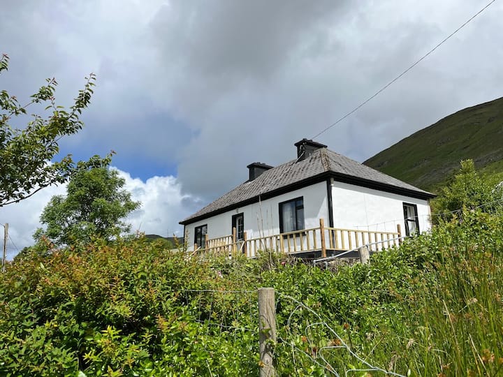 LisnagalhaghFairy fort / earthen ringfort · 764 yd
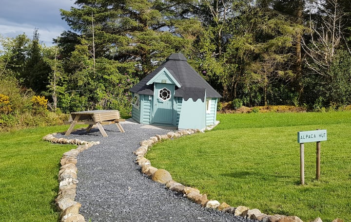 Hut site in Ballybaun (lackalea Ed)Hut site · 887 yd
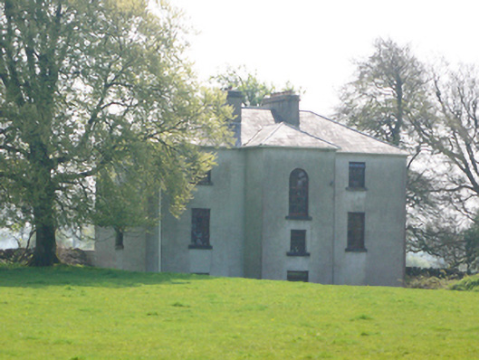 Lynchfort Househouse · 1677 yd
 Turoe StoneHeritage attraction · 1.0 mi
 Bawn in Cahernamuck WestBawn · 1.1 mi
 R.C. ChapelChurch · 1.1 mi
 Galboley Castle (in ruins)Castle, unclassified · 1.2 mi
 Barrack IslandIslet · 3.2 mi
 Middle IslandIslet · 3.2 mi
 Long PointHeadland · 4.0 mi
 Dartfield Horse MuseumHeritage attraction · 4.4 mi
 Scalpeen RockNamed rock · 8.4 mi