What is recorded here
Situated in a low-lying position on a karst landscape. Listed as ‘Enclosure’ in the SMR (1992) and the RMP (1996). Hachured and named ‘Moherlevaun’ on the 1916 OS 6-inch map. On inspection in 2000 this was found to be a subcircular enclosure (int. dims. 73m N-S; 70m NE-SW) of modern construction defined by an ivy-covered drystone wall (Wth 0.6m at NNE to 1m at N; H 1.4m at NW to 1.8m at NNE). At NW the wall is constructed of uncoursed stones with larger boulders at the bottom. There are modern entrances at NE and SW.
Compiled by: Mary Tunney
Date of upload: 23 March 2016
A local fairy fort (ringfort/rath); wider significance not recorded.
The monument record does not grant public access. Check the route and ask the landowner before entering private land.
- What survives
- Recorded monument
Places near here
 R.C. Chapel (in ruins)Church · 446 yd
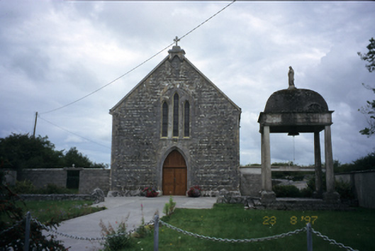 All Saints' Catholic Churchchurch/chapel · 1065 yd
 IndicatedFairy fort / stone ringfort · 1443 yd
 Cloondooan Castle (in ruins)Castle, tower house · 1584 yd
 Enclosure in CarrownagoulEnclosure · 1608 yd
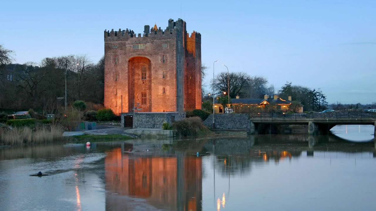 Castle (in ruins)Castle, tower house · 1.2 mi
 Slieve RoeMountain / peak · 2.3 mi
 Mullagh MoreMountain / peak · 2.7 mi
 Kilmacduagh MonasteryHeritage attraction · 2.8 mi
 Kilmacduagh Monastic SiteVisitor information · 2.9 mi
 Kilnaloone GraveyardArchaeological place · 3.4 mi
 Father Ted's HouseHeritage attraction · 3.7 mi