
What is recorded here
In pasture on a low drumlin from where the ground falls most steeply towards the E and the N-flowing Strade River c. 230m to the E. An outbuilding stands c. 10m to the ESE and there is a dwelling house c. 35m to the NE. A roughly circular area (int. diam. c. 30m) is defined by an inner scarp which is lowest (ext. H 0.2m) from ESE-S-SW but much higher (ext. H 1.5-2m) elsewhere. Remains of a fosse (Wth 3m) enclosing the scarp survive along the N and the line of the fosse is traceable as a wide berm (Wth 4.5m; ext. H 0.5m) from SW-W-NW. An overgrown outer earthen bank (int. H 0.5m over base of fosse; Wth 2.5m; ext. H 1.7m) survives along the N, outside the surviving section of fosse. A later earthen field boundary runs N-S subdividing the interior into a western third and an eastern two-thirds. The W portion of the interior is rough and slightly uneven underfoot while the larger, eastern portion is generally level and under grass.
Date of visit: 16-04-2025
Compiled by: Gearóid Conroy
A local fairy fort (ringfort/rath); wider significance not recorded.
The monument record does not grant public access. Check the route and ask the landowner before entering private land.
- What survives
- Recorded monument
Places near here
 Michael DavittMemorial · 493 yd
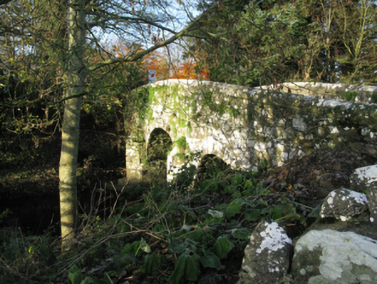 bridgebridge · 522 yd
 TemplemoreChurch · 552 yd
 Ballylahan Castle in RuinsCastle, Anglo-Norman masonry castle · 1.5 mi
 LismoreFairy fort / earthen ringfort · 1.5 mi
 Enclosure in Toormore EastEnclosure · 1.9 mi
 Castle (in Ruins)Castle, motte · 2.0 mi
 Oak WoodWood · 3.8 mi
 National Museum of Ireland, Country LifeMuseum · 4.0 mi
 Sunken GardenWood · 4.1 mi
 Admiral William BrownMemorial · 4.1 mi
 Foxford Woollen MillsHeritage attraction · 4.2 mi
Other information
Photo: Credit not shown in the picture search · Rights wording not checked; contact us if this picture should be removed