What is recorded here
In pasture, on S-facing slope. Marked as circular enclosure on OS 6-inch map (1842). Slight scarp on downslope survives; no other visible surface traces.
The above description is derived from the published 'Archaeological Inventory of County Cork. Volume 1: West Cork' (Dublin: Stationery Office, 1992). In certain instances the entries have been revised and updated in the light of recent research.
Date of upload/revision: 14 January 2009
The monument record does not grant public access. Check the route and ask the landowner before entering private land.
- What survives
- Recorded monument
Places near here
 Fulacht fia in Knocks (carbery East (w.d) By.)Fulacht fia · 1110 yd
 LisnafohanaFairy fort / earthen ringfort · 1299 yd
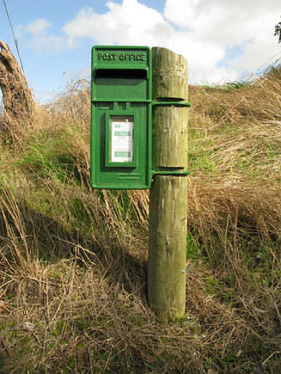 post boxpost box · 1.1 mi
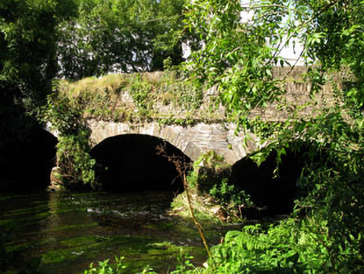 Gearagh Bridgebridge · 1.1 mi
 Clasharusheen Mansion (Site of)Castle, unclassified · 1.2 mi
 Ballinvard CastleCastle · 1.5 mi
 Michael Collins BirthplaceHistoric birthplace · 2.5 mi
 Jeremiah O'Donovan RossaMemorial · 2.9 mi
 Michael Collins MemorialMemorial · 2.9 mi
 Corran HillMountain / peak · 4.0 mi
 CarrigfaddaMountain / peak · 4.1 mi
 Clonakilty Blackpudding Visitor CentreHeritage attraction · 4.7 mi