What is recorded here
Indicated is a fairy fort in County Mayo, Ireland. It crowns a hillock above a river valley, with a steep western slope dropping into wet ground and a gentle eastern slope leading to its entrance. The circular rampart still stands clearly on the west side, while the east has been worn flat by time and use. A natural terrace below the summit may have served as a yard, and beech trees now mark its boundary.
In pasture, crowning a prominent hillock, with very good views in all directions, especially to S along a river valley. The hillock has a steep slope at W−N, falling into a natural basin of wet ground fed by a small stream, and a gently slope at E−SE. At S a natural terrace breaks the hillock slope. The river is located 100m to S.
Circular area (40.3m N−S; 40.6m E−W) defined by a high scarp with a well preserved, flat-based terrace-like fosse and a substantial external bank
The rath interior encompasses the summit of the hillock and the enclosing scarp (H Wth slope 3.8m; H 2.5m, at W) is shaped from the hillock slope. The enclosing fosse (Wth 3m) and external bank (Wth 3.8m; int. H 0.65m; ext. H 1.6m) are cut into the natural slope; they survive on the W half of a the rath but are reduced at N−NE to barely discernible undulations and have been levelled at E−S.
The entrance is at SE, on the more gradual SE slope of the hillock, where a slight slump in the scarp merges with a low ramp-like causeway across the fosse. The entrance opens onto the E side of the natural terrace on the S-facing slope of the hillock; this level terrace would have provided a convenient annex or yard area for the rath.
The rath interior is level. A ring of beech trees is planted around the perimeter, with a few also in the centre of the interior. Another rath (MA080-025----) is 180m to W and there is an enclosure MA080-038----) 135m to SE.
Compiled by: Jane O’Shaughnessy
Date of upload: 2 December 2021
The monument record does not grant public access. Check the route and ask the landowner before entering private land.
- What survives
- Recorded monument
Places near here
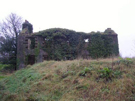 Oxford Housefarm house · 257 yd
 IndicatedFairy fort / earthen ringfort · 260 yd
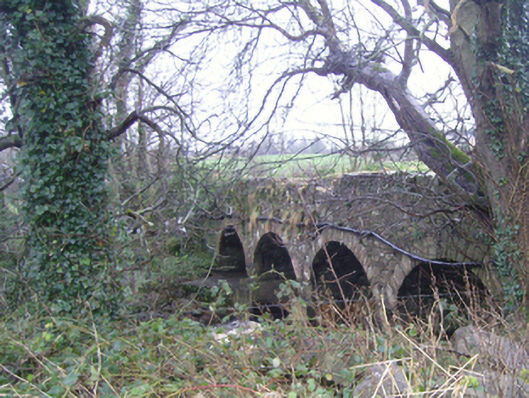 bridgebridge · 427 yd
 LismeelEnclosure · 1104 yd
 Carrowbeg WoodWood · 1198 yd
 CashlankeeghCastle, unclassified · 1423 yd
 I'll Send You The FareMemorial · 1.5 mi
 Kiltimagh MuseumMuseum · 1.6 mi
 Thorn CaveCave · 4.4 mi
 CastleCastle, ringwork · 4.6 mi
 Knock ShrineHeritage attraction · 5.8 mi
 East Mayo Brigade MonumentMemorial · 7.3 mi