What is recorded here
Indicated is a ghost circle in County Mayo, drawn on an 1838 map but erased from the earth. It may have been a ringfort, a place where people lived and breathed before forgetting. Now only grass and memory remain, hiding what once stood in plain sight.
In rough pasture, on NE-facing slope. Shown on OS map (1838) as circular enclosure. No visible surface traces. Possibly a ringfort.
The above description has been derived from D. Lavelle (compiler), An Archaeological Survey of Ballinrobe and District including Lough Mask and Lough Carra. Lough Mask and Lough Carra Tourist Development Association (1994), No. 472.
Date of upload: 22 February 2013
The monument record does not grant public access. Check the route and ask the landowner before entering private land.
- What survives
- Recorded monument
Places near here
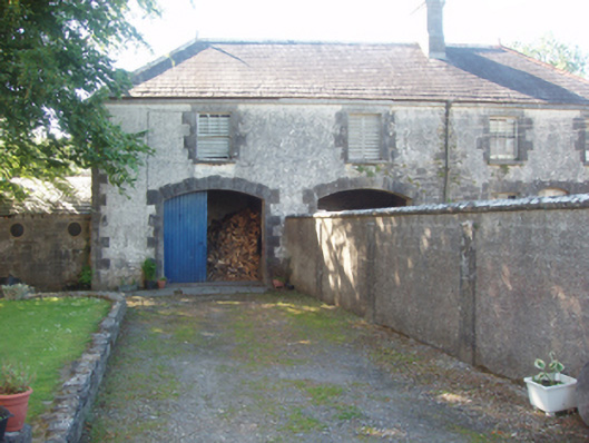 Creagh Housefarmyard complex · 1086 yd
 IndicatedFairy fort / earthen ringfort · 1126 yd
 Aghinish RocksIslet · 1506 yd
 Eel IslandIslet · 1522 yd
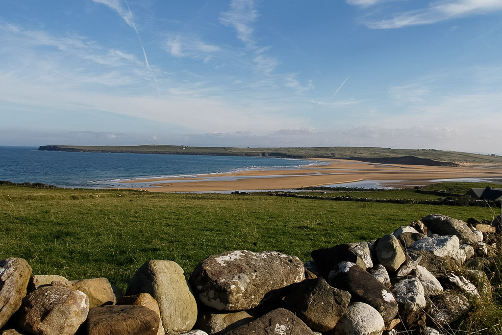 Templenaleckagh in ruinsChurch · 1656 yd
 Castle HagFortification · 1.1 mi
 Castle in ruinsCastle, unclassified · 1.3 mi
 CastleCastle, unclassified · 2.4 mi
 European ashEuropean ash · 2.6 mi
 LabbadermotCave · 2.9 mi
 Devenish RocksNamed rock · 3.1 mi
 CarrigeenbaunNamed rock · 3.4 mi