What is recorded here
In the vicinity of a cashel (MA119-040001-), in rolling limestone grassland, broken by expanses of karst and high rock-outcropping.
An aerial photograph (SMR file: CUPAP AYR 87 & 88 & 89) records a field system of subrectangular walled fields, in which cultivation ridges are visible. It surrounds the cashel and extending to E and S of it, but post-dates it. It is most likely associated with a cluster of ruined rectangular vernacular houses visible in the CUCAP photograph at a distance of c. 55m to SE of the cashel. This settlement is recorded on the 1838 OS 6-inch map, where five houses/buildings are shown, with an access road approaching from S and E; it is not shown on later map editions.
Almost all trace of the settlement, field walls and cultivation ridges -bar a few slight surface undulations -were removed during reclamation works.
Compiled by: Jane O’Shaughnessy
Date of upload: 10 August 2023
The monument record does not grant public access. Check the route and ask the landowner before entering private land.
- What survives
- Recorded monument
Places near here
 IndicatedFairy fort / stone ringfort · 84 yd
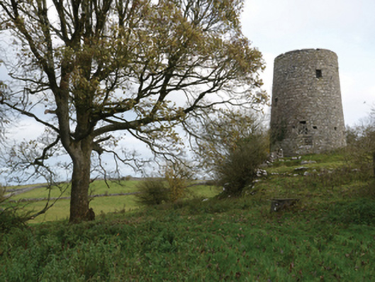 Highwood Millmill (wind) · 1066 yd
 Enclosure in Ardkill,caherwiclaun,kilquire UpperEnclosure · 1403 yd
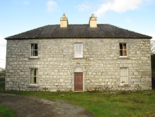 Carranvilla Housefarm house · 1538 yd
 Bawn in Kilquire LowerBawn · 1.4 mi
 Killernan CastleCastle · 1.7 mi
 European YewEuropean Yew · 2.9 mi
 SycamoreSycamore · 3.8 mi
 Mass RockNamed rock · 8.8 mi
 Ross Errilly FriaryHeritage attraction · 9.1 mi
 School of FalconryHeritage attraction · 9.6 mi
 Oileán na nAnamIslet · 9.8 mi