What is recorded here
In pasture, at base of N-facing slope, in valley of Bandon river. Arc of earthen bank (H 1.6m; C 200m) to NW of Desertserges graveyard (CO109-02902-) only surviving portion of large circular enclosure part of early ecclesiastical site (Hurley 1980, 58).
The above description is derived from the published 'Archaeological Inventory of County Cork. Volume 1: West Cork' (Dublin: Stationery Office, 1992). In certain instances the entries have been revised and updated in the light of recent research.
Date of upload/revision: 14 January 2009
A local fairy fort (ringfort/rath); wider significance not recorded.
The monument record does not grant public access. Check the route and ask the landowner before entering private land.
- What survives
- Recorded monument
Places near here
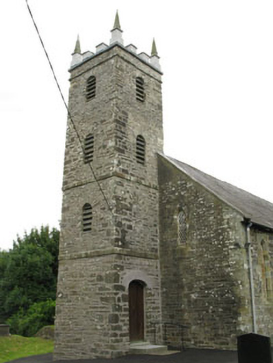 St Mary's Church of Ireland Churchchurch/chapel · 53 yd
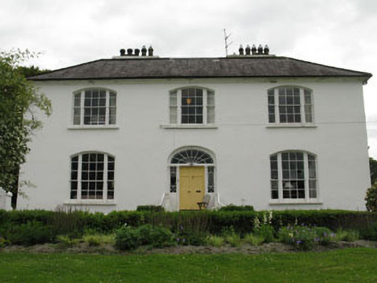 Church Hill Househouse · 266 yd
 Man-made underground passage in Kilcolman (kinalmeaky By.)Man-made underground passage · 751 yd
 Fulacht fia in FarrannashesheryFulacht fia · 1429 yd
 Tobar MacloonaboySpring · 1.4 mi
 Castle DerryCastle · 2.4 mi
 The GlenWood · 2.6 mi
 Corran HillMountain / peak · 3.8 mi
 Cottage Road WoodWood · 4.6 mi
 Green HillMountain / peak · 4.7 mi
 Monteen Castle (in Ruins)Castle, tower house · 4.8 mi
 Castle RockNamed rock · 5.1 mi