What is recorded here
In level damp pasture, at the base of a gradual E-facing slope. A trapezoidal platform (27.7m at N, 23.4m at E, 24m at S, 18.5m at W) defined on the W and N sides by an earthen bank (Wth c. 3.5m; int. H 0.55m; ext. H 1.6m at N) and on the E and S sides by a scarp (H 1.3m). The flat-bottomed fosse (Wth 3.4m) is evident outside the bank on the N side while on the W side it is evident only as a shallow depression (Wth c. 3m). An external bank (Wth c. 3m; int. H 1.4m; ext. H 0.3m) is evident on the N side. A road skirts the scarp on the E side at a distance of 1.5m. On the S side the scarp drops to a low irregular terrace (Wth 3-4.5m; H 0.3m). A strip of flat damp ground separates the terrace from a road. The interior is level and grassy. Hawthorn and ash trees and dense clumps of brambles mark the perimeter.
The above description is derived from the published 'Archaeological Inventory of County Sligo' compiled by Ursula Egan, Elizabeth Byrne, Mary Sleeman with Sheila Ronan and Connie Murphy (Dublin Stationery Office, 2005).
Date of upload: 18 January 2008
The monument record does not grant public access. Check the route and ask the landowner before entering private land.
- What survives
- Recorded monument
Places near here
 Tober BrideHoly well · 306 yd
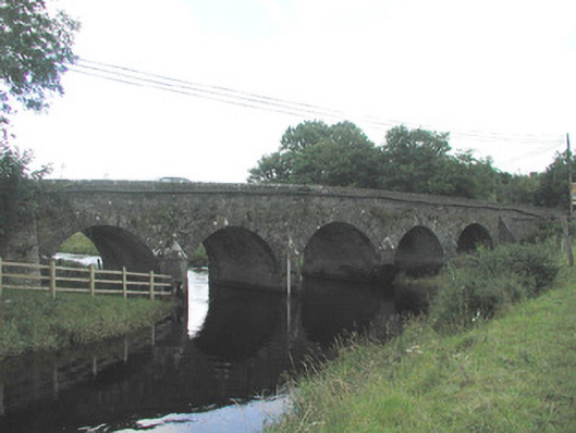 Big Bridgebridge · 1122 yd
 Enclosure in MullaghcorEnclosure · 1389 yd
 Emlaghfad Church (in Ruins)Church · 1.2 mi
 Caves of KeshCave · 1.8 mi
 Ballymote CastleCastle · 2.1 mi
 Brother WalfridMemorial · 2.2 mi
 Kesh CorannMountain / peak · 2.3 mi
 School CaveCave · 2.6 mi
 RathdoonyCastle, motte · 3.1 mi
 Treanscrabbagh caveCave · 4.2 mi
 Tymon's HillMountain / peak · 4.5 mi