What is recorded here
In pasture, located on a SE-facing slope, giving good views NE–S–SW, with an expanse of lowlying pasture to SE.
Sub-circular, raised area (diam. 22-25m) enclosed by a bank (Wth 2.7m; int. H 0.6m; ext. H 1.3m at WSW) of earth and stones, incorporated into the line of a later field fence on the W arc. The enclosure is built up higher on the SE–S to compensate for the natural slope, and along this section the bank tops a scarped sloping, giving an overall external height of c. 2.3m.
Remnants of stone facing on the exterior face of the bank may be a late feature. There is an eroded gap (Wth 0.6m) at ENE, but the location of the original entrance is not evident. The interior slopes gently down from NW to SE. The rath is engulfed in clumps of brambles, hawthorn bushes and ash trees.
Compiled by: Jane O’Shaughnessy
Date of upload: 4 September 2019
The monument record does not grant public access. Check the route and ask the landowner before entering private land.
- What survives
- Recorded monument
Places near here
 Castle Kelly (in Ruins)Castle, motte · 1173 yd
 Church (in Ruins)Church · 1213 yd
 Dermot & Graine's BedArchaeological place · 1289 yd
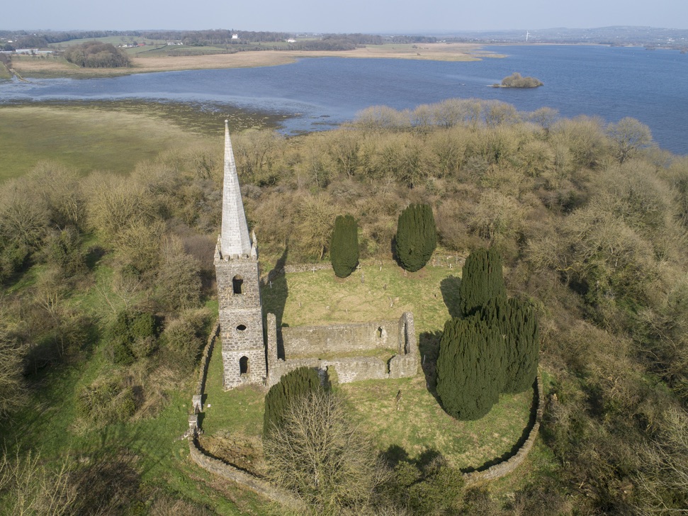 Church in Inishlee IslandChurch · 1551 yd
 CastleCastle, tower house · 1.3 mi
 Enclosure in Rathbaun (tirawley By., Kilbelfad Par.)Enclosure · 1.4 mi
 Roe IslandIslet · 2.4 mi
 Castle IslandIslet · 2.6 mi
 Battle of Ballinabattle · 3.4 miHumbert MonumentMemorial · 3.9 mi
 Belleek WoodsWood · 4.9 mi
 Grave of the KingsArchaeological place · 5.1 mi
Other information
Photo: Credit not shown in the picture search · Rights wording not checked; contact us if this picture should be removed