
What is recorded here
On level, low-lying ground. A raised oval area (47.4m NW-SE; 37.9m NE-SW) enclosed by a low bank of earth and stone (Wth 4.4m; H 0.3-0.8m) with an external fosse (Wth 2.6m; D 0.3m). The bank has been modified and incorporated into a field boundary. From NNE-E-SE its outer face and much of its core have been removed and replaced by a modern drystone wall. The fosse has been infilled from SE-S-W. Elsewhere it has been filled with felled trees and large boulders. The original entrance is not recognisable.
Compiled by: Patrick F. O'Donovan
Date of upload: 16 January 2012
The monument record does not grant public access. Check the route and ask the landowner before entering private land.
- What survives
- Recorded monument
Places near here
 Chapel (in Ruins)Church · 1077 yd
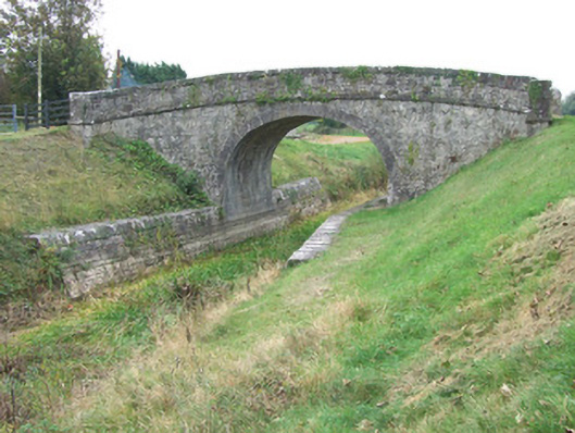 Ards Bridgebridge · 1467 yd
 Burial ground in AghnashinganBurial ground · 1474 yd
 Bawn in BallyknockBawn · 1717 yd
 Church (Site of)Church · 1.1 mi
 CastleCastle, unclassified · 1.9 mi
 Graveyard in Curry (ardagh By., Coolamber Ed)Graveyard · 2.5 mi
 White Sand WoodWood · 6.8 mi
 Wild birdsVisitor information · 6.8 mi
 Commons North WalkVisitor information · 6.8 mi
 Ballyclare IslandIslet · 7.3 mi
 Elfeet BayBay · 7.9 mi
Other information
Photo: Credit not shown in the picture search · Rights wording not checked; contact us if this picture should be removed