What is recorded here
In pasture, on N-facing slope. Circular area (31m N-S; 30m E-W) enclosed by earthen bank (H 1.5m) N->SW, stone faced in parts; scarp elsewhere; with silted-up external fosse. Break in bank to SW (Wth 3.7m).
The above description is derived from the published 'Archaeological Inventory of County Cork. Volume 1: West Cork' (Dublin: Stationery Office, 1992). In certain instances the entries have been revised and updated in the light of recent research.
Date of upload/revision: 14 January 2009
The monument record does not grant public access. Check the route and ask the landowner before entering private land.
- What survives
- Recorded monument
Places near here
 Mass-rock in KnockaphoneryMass-rock · 138 yd
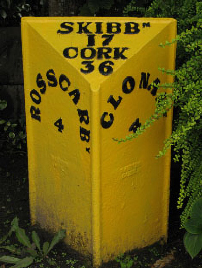 milestone/milepostmilestone/milepost · 539 yd
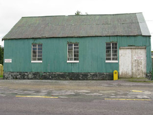 hallhall · 600 yd
 Kill Old Burial GdBurial ground · 1109 yd
 Michael Collins MemorialMemorial · 1.2 mi
 Castle Freke WoodsForest · 1.6 mi
 Cottage MuseumMuseum · 1.6 mi
 Michael Collins BirthplaceHistoric birthplace · 1.6 mi
 Sitka SpruceSitka Spruce · 1.8 mi
 Bawn in CastlefrekeBawn · 2.2 mi
 Lord Carbery's Cross TrailWalking route · 2.3 mi
 Little Island StrandBeach / strand · 2.6 mi