What is recorded here
Marked as a circular feature (diam. c. 40m) on the 1837 and 1915 eds of the OS 6-inch map, and situated on a N-facing slope of a NNW-SSE ridge with rock outcrop. This is a drystone wall enclosure with some mature deciduous trees which was probably a tree ring. Archaeological testing (05E0391) in the vicinity failed to produce any related archaeological material (Bryne 2008d).
Compiled by: Michael Moore
Date of upload: 24 August 2010
The monument record does not grant public access. Check the route and ask the landowner before entering private land.
- What survives
- Recorded monument
Places near here
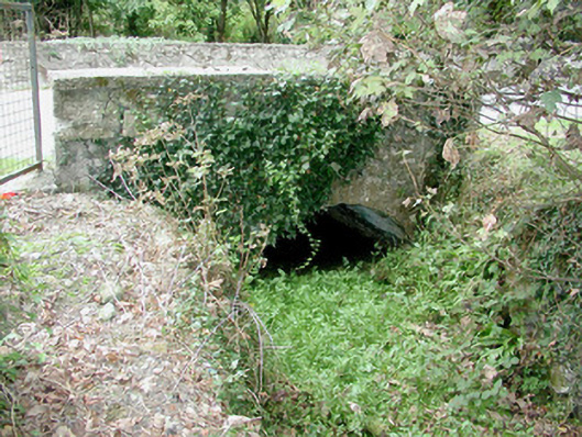
 Historic buildingOfficially recorded historic building · 225 yd
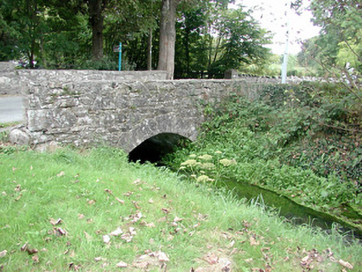
 bridgebridge · 240 yd
 St. Johns WellHoly well · 379 yd
 Fairy fort / stone ringfort in Carrownamaddy (athlone South By.),knockanyconorFairy fort / stone ringfort · 1477 yd
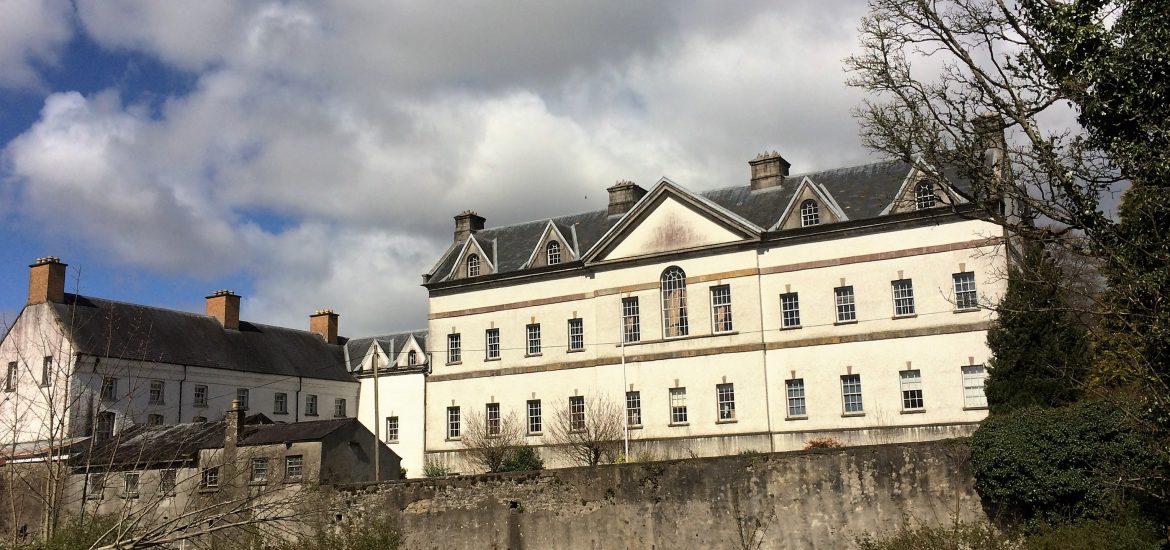 IndicatedCastle, unclassified · 1591 yd
 Blackbrink BayBay · 1.5 mi
 St. John's WoodWood · 2.1 mi
 CastleCastle, tower house · 2.2 mi
 Black RockNamed rock · 2.2 mi
 RindoonWood · 2.7 mi
 InchmoreIslet · 2.7 mi
 Dogs IslandIslet · 2.7 mi