What is recorded here
The Urban Survey of Limerick (Bradley et. al. 1989, 183) recorded the following about St. Mary's Well; St. Mary’s well is located in the field to the south of the church.' Ó Danachair (1955, 216) recorded that 'This well has disappeared and its former existence is known to very few in the district'. Described in 1944 as following; 'This well stood outside the wall of the old Catholic church. It has been closed in and all devotion has ceased. It is called St. Mary's Well on the O.S. map' (O'Kelly 1944, 23). No surface remains visible.
Compiled by: Caimin O'Brien
Date of upload: 26 April 2019
St. Mary's Well is associated with the veneration of the Virgin Mary and was traditionally visited for healing and spiritual purposes. Local folklore suggests that the well's waters were believed to have curative properties, particularly for ailments of the eyes and general health.
The monument record does not grant public access. Check the route and ask the landowner before entering private land.
- What survives
- Recorded monument
Places near here
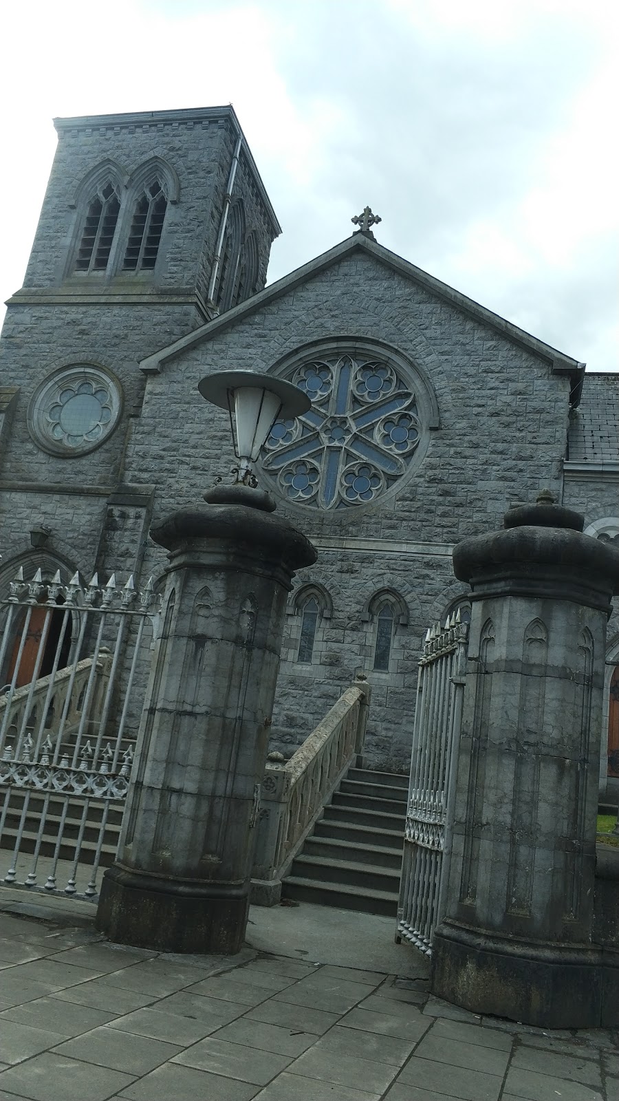 Church in Knockainy WestChurch · 54 yd
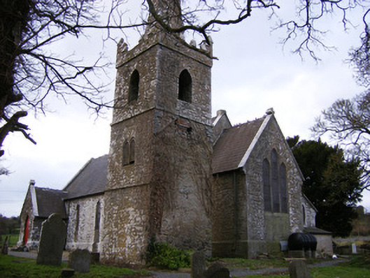 Saint John's Church (Knockainy)church/chapel · 59 yd
 Desmond Castle (in ruins)Castle, unclassified · 105 yd
 Knockainy Castle (in ruins)Castle, tower house · 181 yd
 Flat cemetery in Knockainy WestFlat cemetery · 852 yd
 Doonainy, HachuredMound · 931 yd
 KnockainyMountain / peak · 932 yd
 BarrowBarrow, ditch barrow · 970 yd
 Glen BogForest · 2.0 mi
 St Patrick's WellSpring · 4.0 mi
 Kilteely HillMountain / peak · 4.2 mi
 St. Patrick's WellSpring · 4.6 mi