
What is recorded here
On the N side of a minor road. A partially collapsed random rubble front wall (Wth c. 5m) facing SW retains an earthen core. Central arched recess (Wth 1.6m; D c. 1.7m) is roughly U-shaped in plan. Field fence abuts W end of front wall. Stone revetted roadside side wall. Front of kiln obscured by dump material, rear and sides overgrown.
Compiled by: Elizabeth Byrne, Ursula Egan and Sheila Ronan, Archaeological Survey Unit, University College, Cork.
Date of upload: 31 January 2011
The monument record does not grant public access. Check the route and ask the landowner before entering private land.
- What survives
- Recorded monument
Places near here
 Church (Site of)Church · 452 yd
 Lisheennamuck (Remains of)Fairy fort / earthen ringfort · 1162 yd
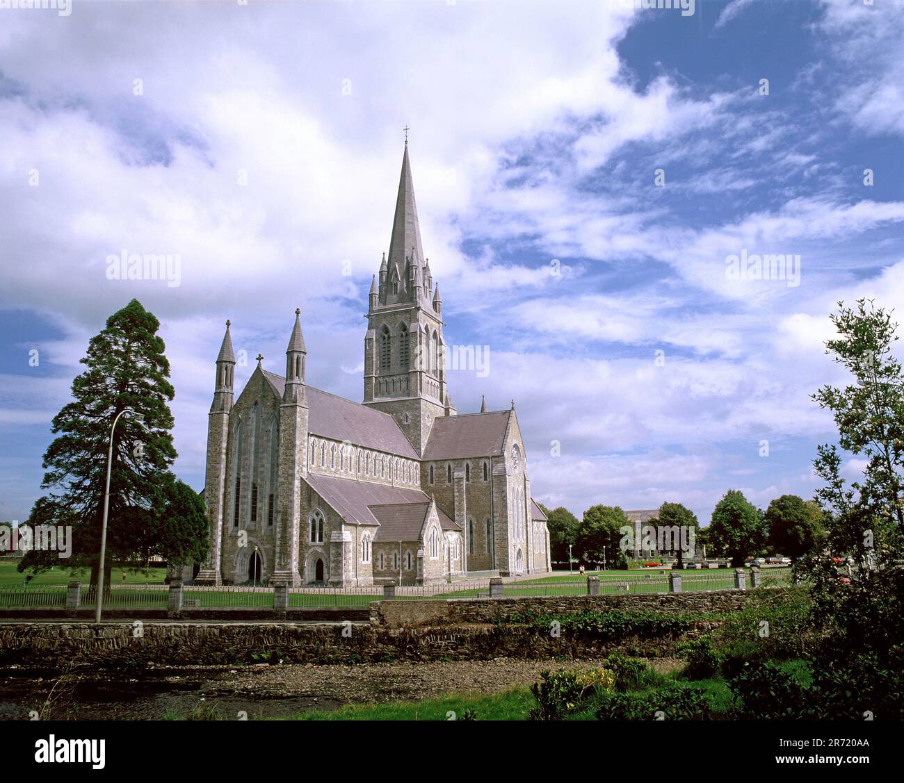 Cullavaw Br.Bridge · 1319 yd
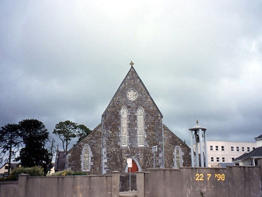 Saint Joseph's Catholic Churchchurch/chapel · 1.0 mi
 BarraduffMemorial · 3.0 mi
 Nohaval WoodWood · 3.0 mi
 Killeen MountainMountain / peak · 4.4 mi
 The Paps EastMountain / peak · 4.4 mi
 Barna BogForest · 5.3 mi
 Killaha Castle (in Ruins)Castle, tower house · 6.3 mi
 Mass RockNamed rock · 8.3 mi
 Flesk CastleCastle · 9.0 mi
Other information
Photo: Credit not shown in the picture search · Rights wording not checked; contact us if this picture should be removed