What is recorded here
Listed in both the SMR (1989) and RMP (1995) and classified as 'Enclosure' and 'Enclosure Site' respectively. It is indicated on the 1913 edition of the OS 6-inch map as a triangular area defined on the N and E sides by linear field boundaries and on the SW by a hachured line. The word 'fort' is marked in pencil on the NMI copy of the 1838 edition of the OS 6-inch map. In poorly drained pasture, at the base of a N-facing slope. Upon inspection in 2002 a flat D-shaped terrace (c. 14m E-W; 13.5m N-S) created by quarrying into the base of the slope was identified. The curving side E-W is defined by a N-facing scarp (H 2.8m at S) cut into the natural slope. The scarp diminishes in height at E and W. The straight N side of the terrace is bordered by a low N-facing scarp (H 0.7m) dropping to an E-W field drain. This is not an archaeological monument.
Compiled by: Archaeological Survey Unit, UCC
Date of upload: 21 November 2011
The monument record does not grant public access. Check the route and ask the landowner before entering private land.
- What survives
- Recorded monument
Places near here
 Enclosure in Lavally (tirerrill By.)Enclosure · 445 yd
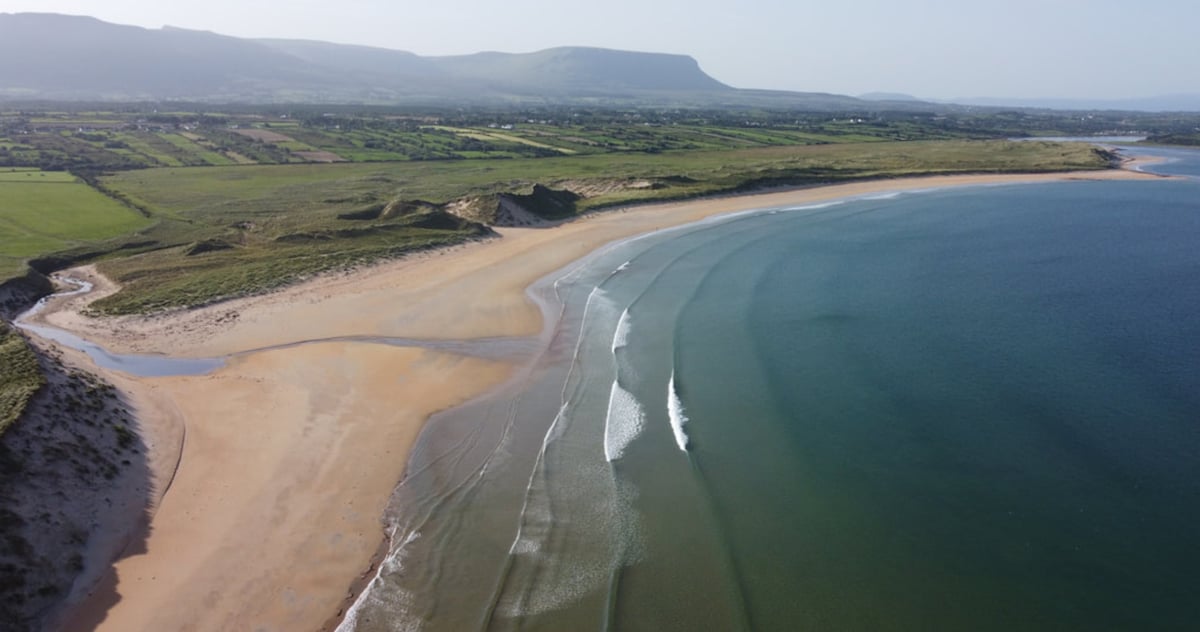 Gilmartins FortFairy fort / earthen ringfort · 529 yd
 Ballysumaghan Ch. (in Ruins)Church · 669 yd
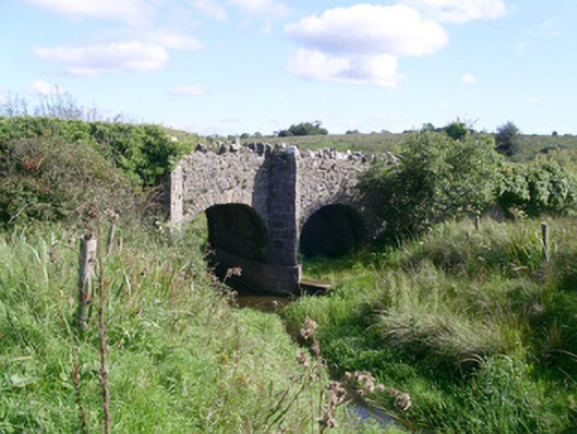 bridgebridge · 1185 yd
 CastleCastle, unclassified · 1540 yd
 Drumcondra Castle (in Ruins)Castle, tower house · 1.3 mi
 Giants GraveArchaeological place · 2.0 mi
 SlishwoodWood · 3.2 mi
 Slishwood Island WestIslet · 3.8 mi
 Bunowen BayBay · 3.9 mi
 Field MapleField Maple · 3.9 mi
 Slishwood Island EastIslet · 3.9 mi