What is recorded here
Situated on the E side of a small N-S valley with the stream c. 30m to the W. Described in Gothic lettering as the site of St. Patrick's Well only on the 1924 ed. of the OS 6-inch map, although a well is indicated on the 1839 ed. of the map on the W side of R730 road just S of Kiltealy village. It is listed by Ua Dubhgaill (1925, 94), but the well does not survive and there is no eividence that it was ever venerated.
Compiled by: Michael Moore
Date of upload: 26 April, 2012
St. Patrick's Well at Kiltealy is traditionally associated with the patron saint of Ireland, St. Patrick, and is believed to have curative properties, particularly for ailments of the eyes and general wellness. The well's sacred status is reflected in its long-standing veneration, with its name first recorded on the 1924 edition of the Ordnance Survey map in Gothic lettering.
The monument record does not grant public access. Check the route and ask the landowner before entering private land.
- What survives
- Recorded monument
Places near here
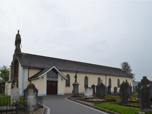 Catholic Church of Saint Patrick and Saint Ceceliachurch/chapel · 472 yd
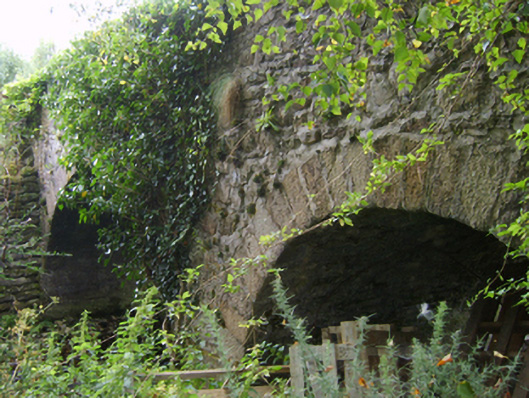 Askinvillar Bridge or Rigley's Bridgebridge · 477 yd
 St. Doran's WellArchaeological place · 1318 yd
 Cross in Askinvillar UpperCross · 1350 yd
 Clorogue BegMountain / peak · 2.4 mi
 1798 MemorialMemorial · 2.7 mi
 KnockroeMountain / peak · 2.8 mi
 Coonogue WoodForest · 3.5 mi
 Mount LeinsterMountain · 4.0 mi
 Irish Hangliding and Paragliding AssociationMemorial · 4.1 mi
 Killoughrum ForestForest · 4.4 mi
 St Bridget's WellSpring · 5.5 mi