What is recorded here
Indicated is a broad earthen ring on a Kiltimagh ridge, its low bank still holding a hidden chamber beneath a central slab. The fort stands beside modern fields and houses, yet the chamber below suggests people once built the ridge into a place of concealment or ceremony. A tractor may enter through the western gap now, but the shape and depth of the site preserve an older purpose that the surrounding pasture has not erased.
In pasture, on the N outskirts of Kiltimagh town, located on a ridge with good views. Ground falls away steeply to N−NW to a flat expanse of wettish pasture. There is a factory 100m to ESE and a housing estate 70m downslope to S.
Raised circular area (37m N−S; 36.5m E−W) defined by levelled enclosing bank or wall which is evident as a low sod-covered earth and stone rise (Wth 5-8m; int. H 0.3m; ext. H 1.45m), with a broad external slump. It is topped at W−SE by a later drystone field wall (Wth 0.6m; H 1.2m). A poorly defined break at SW allows tractor access to the interior, and may mark an original entrance. There is a loose heap of boulders and slabs on the W side of the gap.
A large horizontal slab protruding slightly from the sod roughly in the centre of the level interior covers a blocked up Man-made underground passage (MA080-031001).
The S arc of the rath is covered in overgrowth.
Compiled by: Jane O’Shaughnessy
Date of upload: 2 December 2021
The monument record does not grant public access. Check the route and ask the landowner before entering private land.
- What survives
- Recorded monument
Places near here
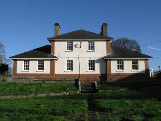 Kiltimagh Cottage Hospitalhospital/infirmary · 322 yd
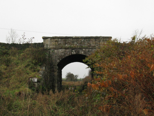 bridgebridge · 413 yd
 IndicatedFairy fort / earthen ringfort · 612 yd
 CrossCross · 623 yd
 I'll Send You The FareMemorial · 722 yd
 Kiltimagh MuseumMuseum · 977 yd
 Carrowbeg WoodWood · 2.4 mi
 CashlankeeghCastle, unclassified · 2.5 mi
 Thorn CaveCave · 2.9 mi
 Castle in ruinsCastle, tower house · 4.9 mi
 Knock ShrineHeritage attraction · 5.5 mi
 East Mayo Brigade MonumentMemorial · 5.9 mi