What is recorded here
Indicated intermittently on the 1897 OS 25-inch plan and on the later, Cassini edition (1920) of the OS 6-inch map. Marked and named ‘Sir Donat’s Road’ on Robinson’s 1977 two-inch map of the uplands of North-West Clare. This a 17th-century road built under the auspices of Donat O’Brien and described by Westropp (1900, 407) as a long road or lane-way which extended from Leamaneh Castle (CL016-032003-) ‘for many miles eastward, and bears in several places the name “Sir Donat’s-road”’.
The section of road recorded in Kiltacky More townland ran NW-SE for c. 400m, meeting the modern road at its SE end opposite a church (CL011-003001-) and graveyard (CL011-003002-). Its route now crosses improved pasture along the NE edge of exposed limestone pavement and no visible surface trace survives.
Compiled by: Gearóid Conroy and Conn Herriott
Date of upload: 12 January 2023
The monument record does not grant public access. Check the route and ask the landowner before entering private land.
- What survives
- Recorded monument
Places near here
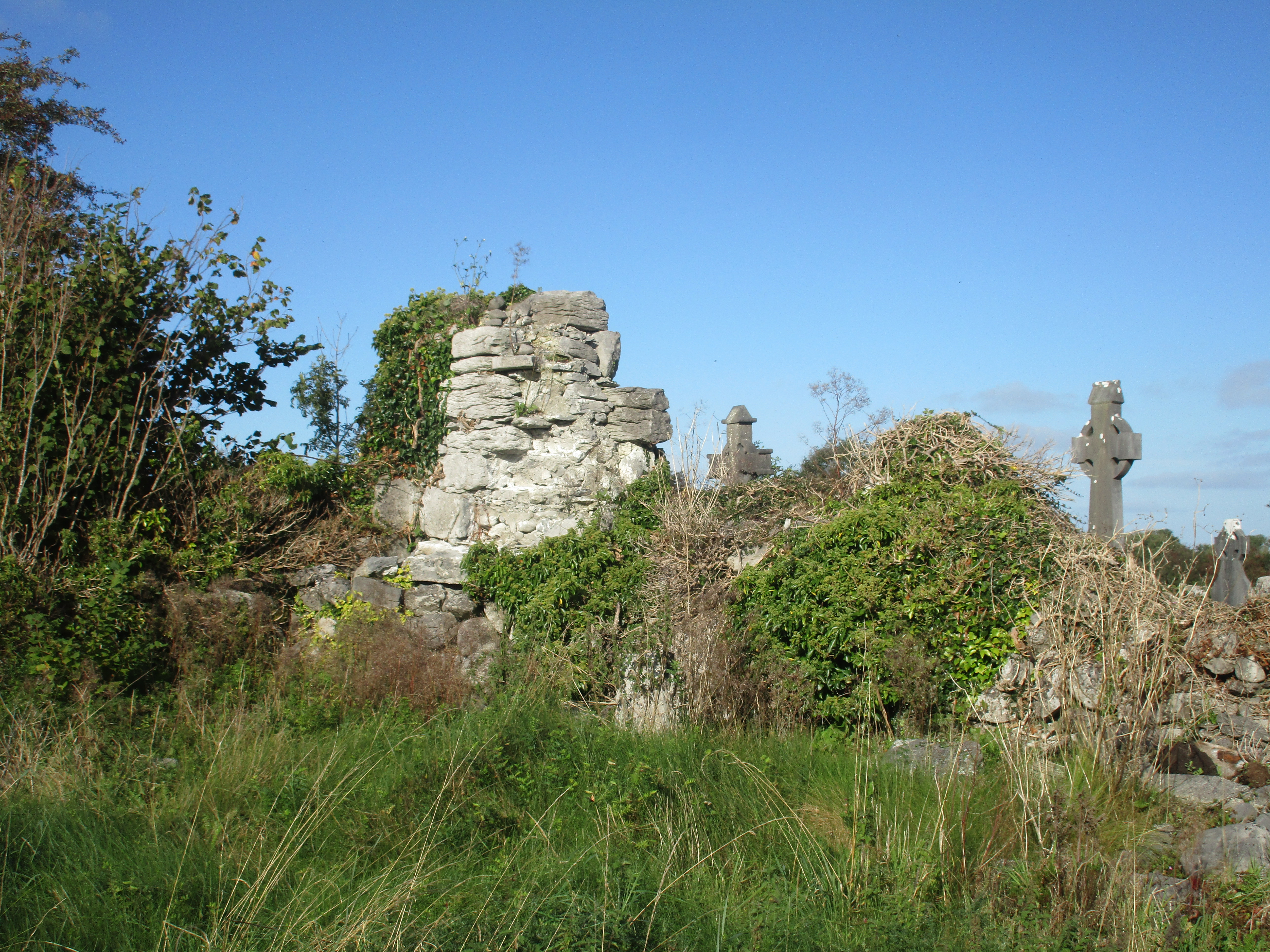 Church (in Ruins)Church · 458 yd
 IndicatedFairy fort / stone ringfort · 1033 yd
 Enclosure in BallaghaglashEnclosure · 1244 yd
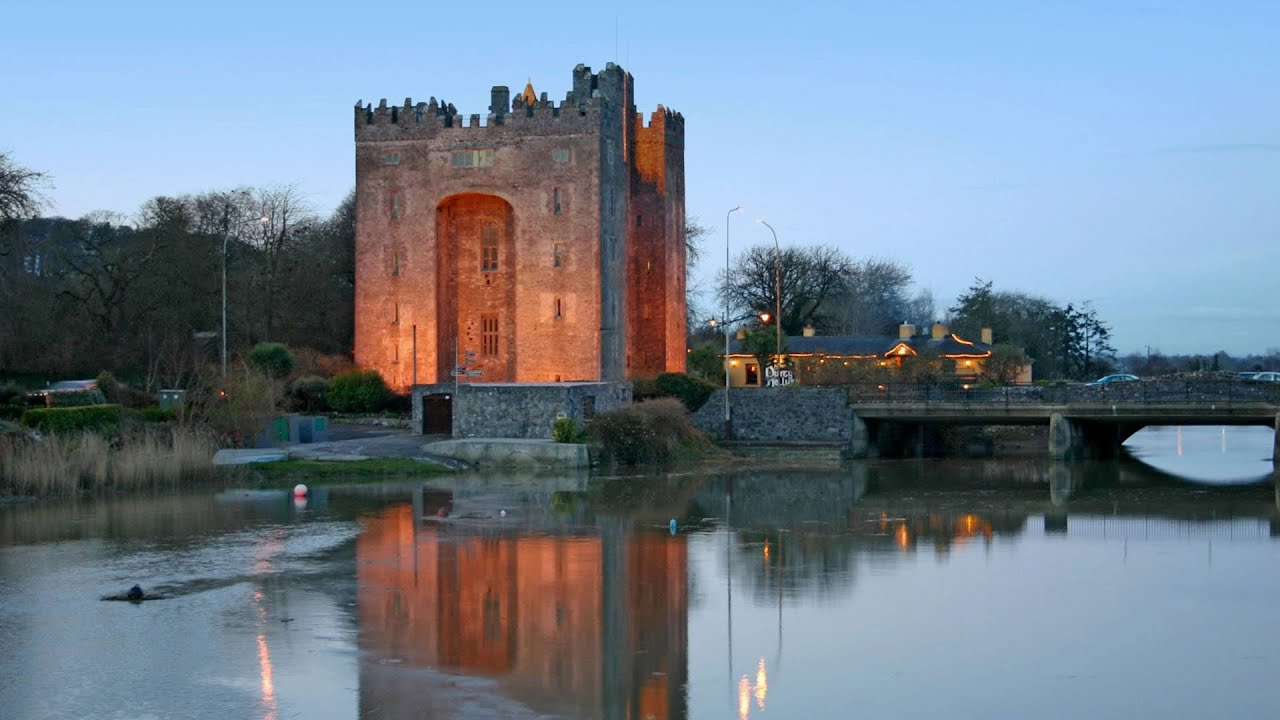 Castle (in ruins)Castle, tower house · 1647 yd
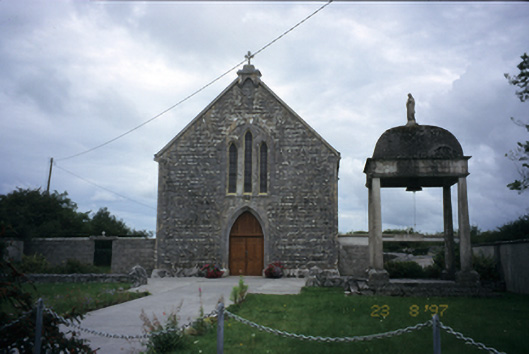 All Saints' Catholic Churchchurch/chapel · 1.4 mi
 Cloondooan Castle (in ruins)Castle, tower house · 1.7 mi
 Burren National ParkNature reserve · 2.0 mi
 Kilnaloone GraveyardArchaeological place · 2.3 mi
 Slieve RoeMountain / peak · 2.6 mi
 Kilmacduagh MonasteryHeritage attraction · 2.9 mi
 Kilmacduagh Monastic SiteVisitor information · 3.0 mi
 Mullagh MoreMountain / peak · 3.1 mi