What is recorded here
In pasture, on the E-facing slopes of a N-S ridge overlooking undulating farmland to the E. An arc (C 28m) of an earthen field boundary (max. Wth 1.2m; max. H 1.4m) with stone inclusions is evident E-W. The field boundary is covered with overgrowth and the interior is heavily overgrown with ferns, briars and bushes, and is inaccessible. This may be the remains of a circular or D-shaped enclosure.
The above description is derived from 'The Archaeological Inventory of County Cork. Volume 5' (Dublin: Stationery Office, 2009).
Date of upload: 22 December 2009
The monument record does not grant public access. Check the route and ask the landowner before entering private land.
- What survives
- Recorded monument
Places near here
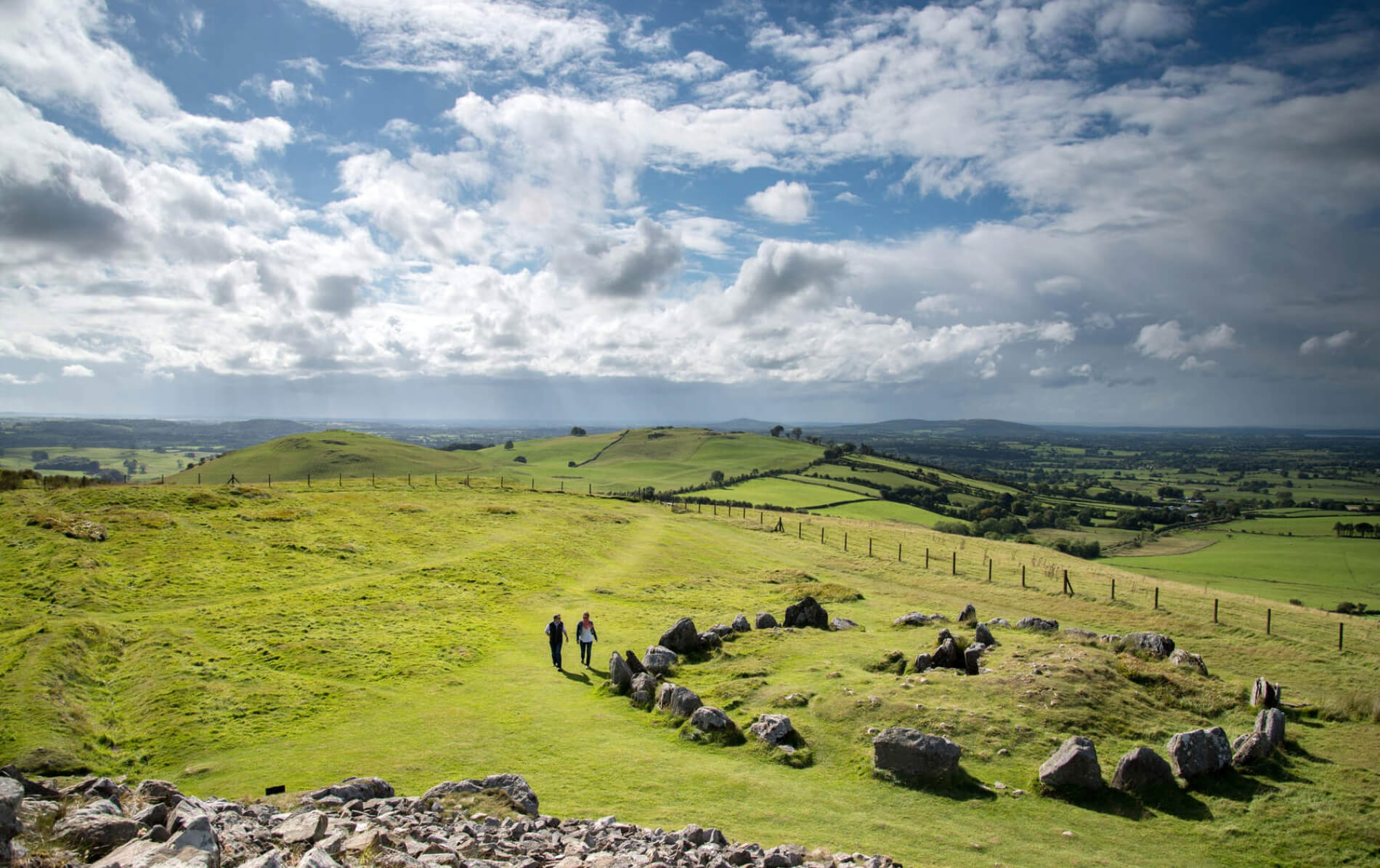 Burnt mound in KilruaneBurnt mound · 160 yd
 Kill Old Burial GdBurial ground · 268 yd
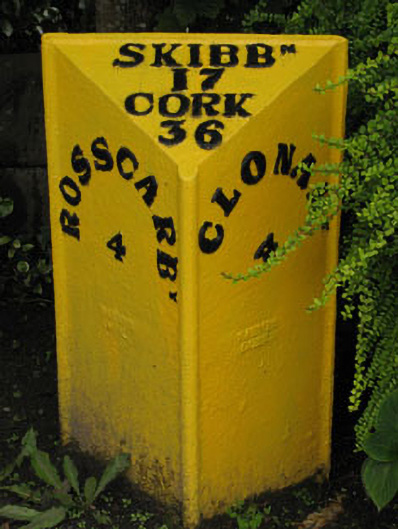 milestone/milepostmilestone/milepost · 1277 yd
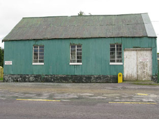 hallhall · 1357 yd
 Michael Collins MemorialMemorial · 1603 yd
 Michael Collins BirthplaceHistoric birthplace · 1.2 mi
 Castle Freke WoodsForest · 1.7 mi
 Sitka SpruceSitka Spruce · 1.9 mi
 Cottage MuseumMuseum · 1.9 mi
 Bawn in CastlefrekeBawn · 2.3 mi
 Lord Carbery's Cross TrailWalking route · 2.4 mi
 Ownahincha Strand (West)Beach / strand · 2.5 mi