What is recorded here
In pasture. Penannular arc (c. 60m NNW-SSE) indicated SE->NNE on 1842 OS 6-inch map, with graveyard occupying W half of interior; only D-shaped graveyard (14597) indicated on 1905 and 1935 OS 6-inch maps. W half of enclosure survives as graveyard, E half levelled. Described by Power (1932, 63) as an 'ancient cemetery which still retains its circular outline and enclosing fence'. Broken millstone lies on ground immediately to S of enclosure.
The above description is derived from the published 'Archaeological Inventory of County Cork. Volume 4: North Cork' (Dublin: Stationery Office, 2000). In certain instances the entries have been revised and updated in the light of recent research.
Date of upload/revision: 14 January 2009
The monument record does not grant public access. Check the route and ask the landowner before entering private land.
- What survives
- Recorded monument
Places near here
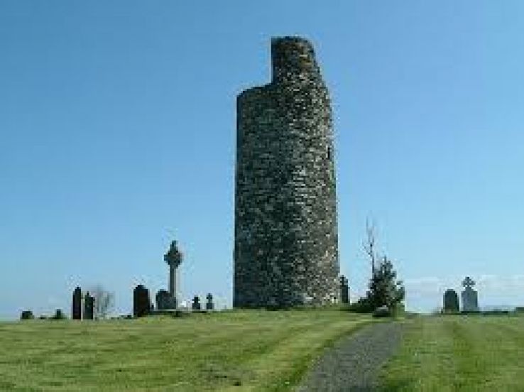 Grave YdGraveyard · 20 yd
 Folacht FiadhFulacht fia · 625 yd
 Caherdrinny Castle (in Ruins)Castle, tower house · 1703 yd
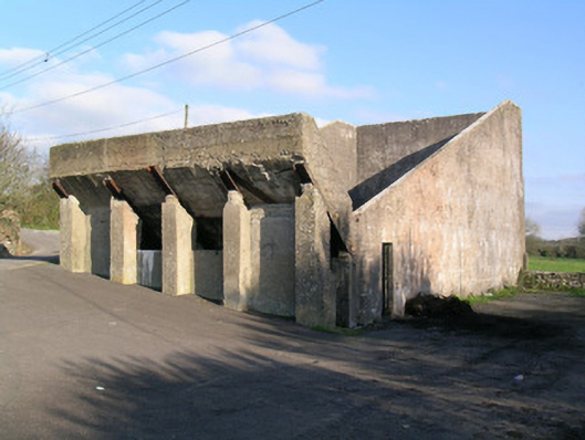 Ballindangan Handball Alleyhandball alley · 1.4 mi
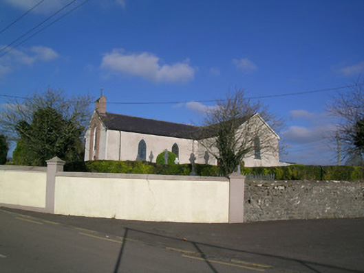 Church of the Immaculate Conceptionchurch/chapel · 1.4 mi
 FlagCave · 1.7 mi
 Carriganoura Castle (in Ruins)Castle, tower house · 2.3 mi
 Statue of Saint FanahanMemorial · 2.4 mi
 Mitchelstown Town MapVisitor information · 2.5 mi
 John MandevilleMemorial · 2.5 mi
 St Dominick's WellSpring · 3.9 mi
 Kilclooney WoodWood · 5.0 mi