What is recorded here
Circular island (diam. c. 15m) in Gortnakillew Lough, c. 20m from the shoreline. Covered with vegetation. Davies (ITA Survey 1942) noted that 'from its edge there projects several horizontal beams, and at one place in the upper part of the bank there appears brown earth with a little charcoal'. Situated c. 20m from the shoreline.
The above description is derived from the published 'Archaeological Inventory of County Cavan' (Dublin: Stationery Office, 1995). In certain instances the entries have been revised and updated in the light of recent research.
Date of upload/revision: 22 December 2008
The monument record does not grant public access. Check the route and ask the landowner before entering private land.
- What survives
- Recorded monument
Places near here
 Aghalackan EastMountain / peak · 1228 yd
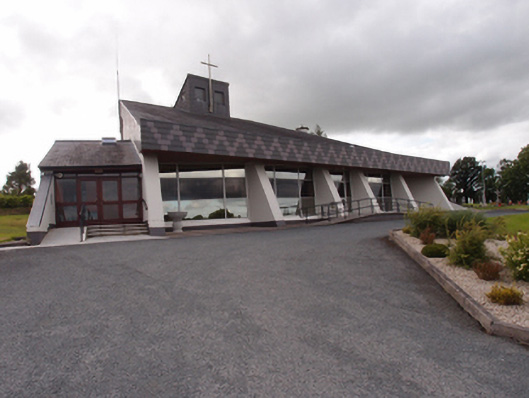 St Dymphna's Roman Catholic Churchchurch/chapel · 1580 yd
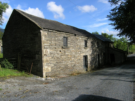 mill (water)mill (water) · 1.1 mi
 Ancient Order of Hibernians MemorialMemorial · 1.1 mi
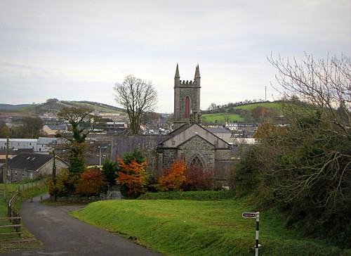 IndicatedHoly well · 1.2 mi
 Site of Saint Davnet's ChapelArchaeological place · 1.2 mi
 Aghalackan WestMountain / peak · 1.3 mi
 To The Memory of P.J. DukeMemorial · 1.9 mi
 Killymeehan ForestForest · 2.5 mi
 Carricknagore RockNamed rock · 3.0 mi
 Bawn in MoynehallBawn · 3.0 mi
 Shantemon ForestForest · 3.3 mi