What is recorded here
Indicated is a hidden ringfort south of Garranes Lake, its twenty-metre earthen bank now buried beneath overgrowth. The hollow shape still marks the ground, but the interior remains closed to human entry. What lives inside that forgotten circle is no longer certain, only suggested by the shape itself.
SW of Garranes Lake. Circular enclosure (diam. c. 20m) in hollow; higher ground to S. Appears to be univallate, enclosed by earthen bank, but completely overgrown; access to interior not gained.
The above description is derived from the published 'Archaeological Inventory of County Cork. Volume 1: West Cork' (Dublin: Stationery Office, 1992). In certain instances the entries have been revised and updated in the light of recent research.
Date of upload/revision: 14 January 2009
The monument record does not grant public access. Check the route and ask the landowner before entering private land.
- What survives
- Recorded monument
Places near here
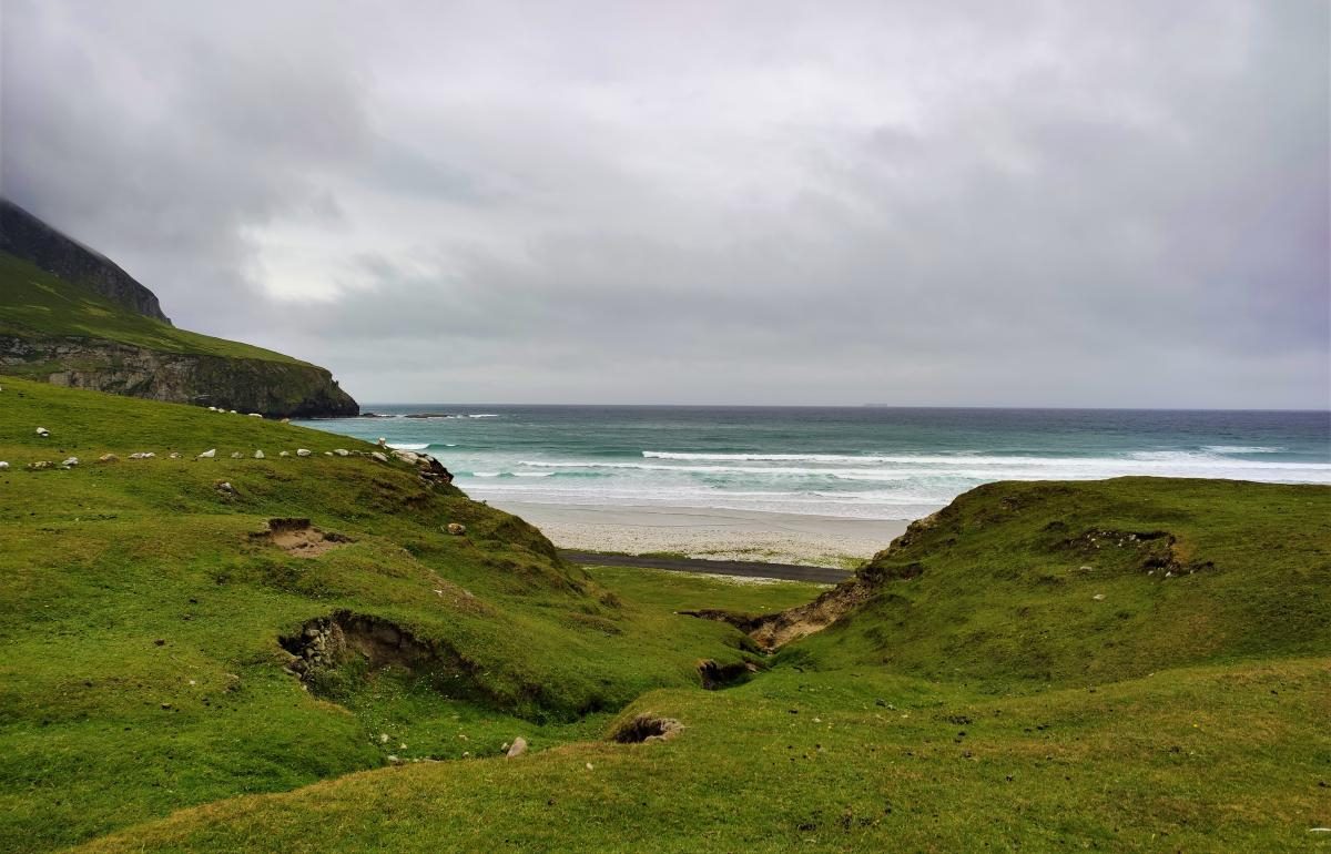 Fulacht fia in Kilnahera WestFulacht fia · 1056 yd
 IndicatedFairy fort / earthen ringfort · 1309 yd
 Milane HillMountain / peak · 1.6 mi
 Bridge in Derryclogh Lower,minanesBridge · 2.3 mi
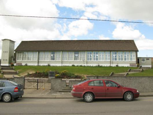 Scoil Mhuire Draighneaghschool · 2.6 mi
 Graveyard in ToughmacdermodyGraveyard · 2.6 mi
 Drimoleague Heritage Loop WalkWalking route · 3.0 mi
 Pookeen North TopMountain / peak · 3.0 mi
 Moyny Bridge WalkWalking route · 3.3 mi
 Mohona WoodWood · 3.9 mi
 Castle Donovan (in Ruins)Castle, tower house · 3.9 mi
 Castle DonovanCastle · 3.9 mi