What is recorded here
This is the site of a mound. The site is marked on all editions of the OS 6-inch maps. The mound is at present a cresent shaped ridge, a large gap in the Northern section. Measurements are hard to distinguish because of the overgrowth. The height of the ridge is approximately 11m. The diameter of the site at North/South measures approx 23m. The diameter of the site at East/West measures approx 20.6m. The presence of a large house nearby may suggest possible landscape feature. This site is of no archaeological importance.
The above description is derived from the published 'Archaeological Inventory of County Offaly' (Dublin: Stationery Office, 1997). In certain instances the entries have been revised and updated in the light of recent research.
Date of upload: 23 May 2011
The monument record does not grant public access. Check the route and ask the landowner before entering private land.
- What survives
- Recorded monument
Places near here
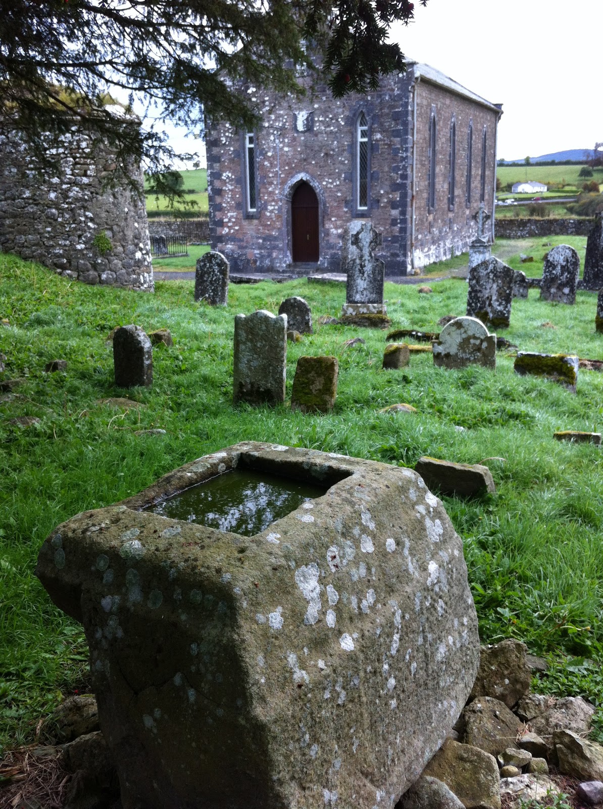 Holy well in Kilbride (kilcoursey By.)Holy well · 397 yd
 Ballinough Big RockMass-rock · 542 yd
 Kilcoursey Castle (in Ruins)Bawn · 1042 yd
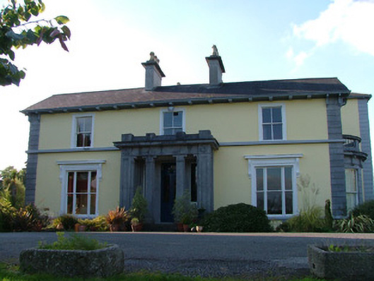 Inchmorehouse · 1233 yd
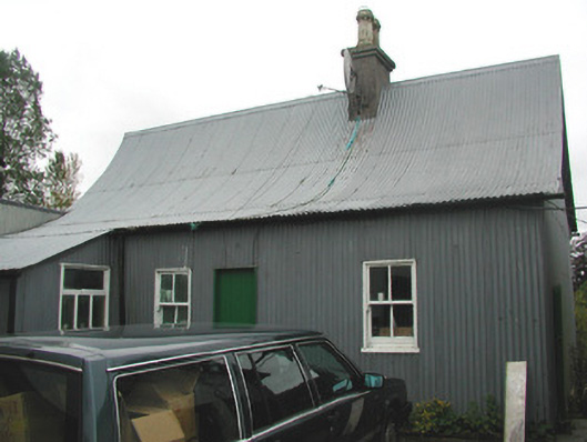 Beechmount Houseschool · 1269 yd
 Chapel HillForest · 1.1 mi
 Clara Bog BoardwalkHeritage attraction · 1.6 mi
 Castle (in ruins)Castle, tower house · 2.2 mi
 European ashEuropean ash · 2.6 mi
 Trumpet HillMountain / peak · 2.7 mi
 Kilmalady HillMountain / peak · 2.8 mi
 ToberaskeenSpring · 3.1 mi