What is recorded here
Indicated is a circular ecclesiastical enclosure in County Cork, Ireland, where a stone wall still holds a graveyard and church inside an earthen bank. The northern ground slopes away like a forgotten breath, while a holy well waits five hundred metres further north. People may have walked this lane for centuries, marking death, prayer and water in one small landscape.
Roughly circular area (diam. c. 70m) defined by earthen bank (int. H 1.4m) E->WNW and NE->E; levelled bank survives as low rise WNW->N; scarp W->NE. Substantial external fosse SSE->WNW, with possible second bank (ext. H c. 1m) S->W. Stone wall crosses interior on E-W axis encloses graveyard (CO118-001001-) to S. Church (CO118-001002-) in graveyard. N end of interior slopes down to NNE. Bank disturbed to E due to graveyard entrance. Laneway skirts site NE->E. Holy well in same townland 500m to N.
The above description is derived from the published 'Archaeological Inventory of County Cork. Volume 1: West Cork' (Dublin: Stationery Office, 1992). In certain instances the entries have been revised and updated in the light of recent research.
Date of upload/revision: 14 January 2009
The monument record does not grant public access. Check the route and ask the landowner before entering private land.
- What survives
- Recorded monument
Places near here
 Church (in Ruins)Church · 25 yd
 Lousy Castle IslandIslet · 710 yd
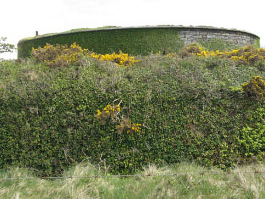 West Batterybattery · 886 yd
 Whiddy IslandIsland · 933 yd
 Fulacht fia in DromcloghFulacht fia · 1.1 mi
 Ladys WellHoly well · 1.3 mi
 GinkgoGinkgo · 1.9 mi
 Bantry HouseHeritage attraction · 2.0 mi
 Ardnamanagh PointHeadland · 2.2 mi
 Four Heads PointHeadland · 2.6 mi
 schoolschool · 1008 yd
 Rabbit IslandIslet · 1342 yd