
What is recorded here
In N half of graveyard (CO118-001001-) enclosed by early ecclesiastical enclosure (CO118-087---) at S end of Whiddy Island. Indicated on OS 6-inch map 1842 as 'Church (in ruins)'. Overgrown ruins of rectangular church (11m E-W; 4.7m N-S; wall thickness 0.6m). Remains of door ope at W end of Swall. Interior inaccessible. No church shown on island by Downe Survey map. Possible church of 'Insscuingi Parish' mentioned in decretal letter of Pope Innocent 3rd 1199 (Bolster 1972, 99).
The above description is derived from the published 'Archaeological Inventory of County Cork. Volume 1: West Cork' (Dublin: Stationery Office, 1992). In certain instances the entries have been revised and updated in the light of recent research.
Date of upload/revision: 14 January 2009
Image provided by and copyright of Amanda Clarke 2016-2022 https://holywellscorkandkerry.com/
The monument record does not grant public access. Check the route and ask the landowner before entering private land.
- What survives
- Recorded monument
Places near here
 Lousy Castle IslandIslet · 687 yd
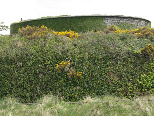 West Batterybattery · 877 yd
 Whiddy IslandIsland · 958 yd
 schoolschool · 998 yd
 Fulacht fia in DromcloghFulacht fia · 1.1 mi
 Ladys WellHoly well · 1.3 mi
 GinkgoGinkgo · 1.9 mi
 Bantry HouseHeritage attraction · 2.0 mi
 Ardnamanagh PointHeadland · 2.2 mi
 Reenagough PointHeadland · 2.2 mi
 St. Brendans StatueMemorial · 2.4 mi
 KnockboolteenaghMountain / peak · 2.4 mi
Other information
Photo: Credit not shown in the picture search · Rights wording not checked; contact us if this picture should be removed